Medium airport · Portugal
Alverca Air BaseLPAR
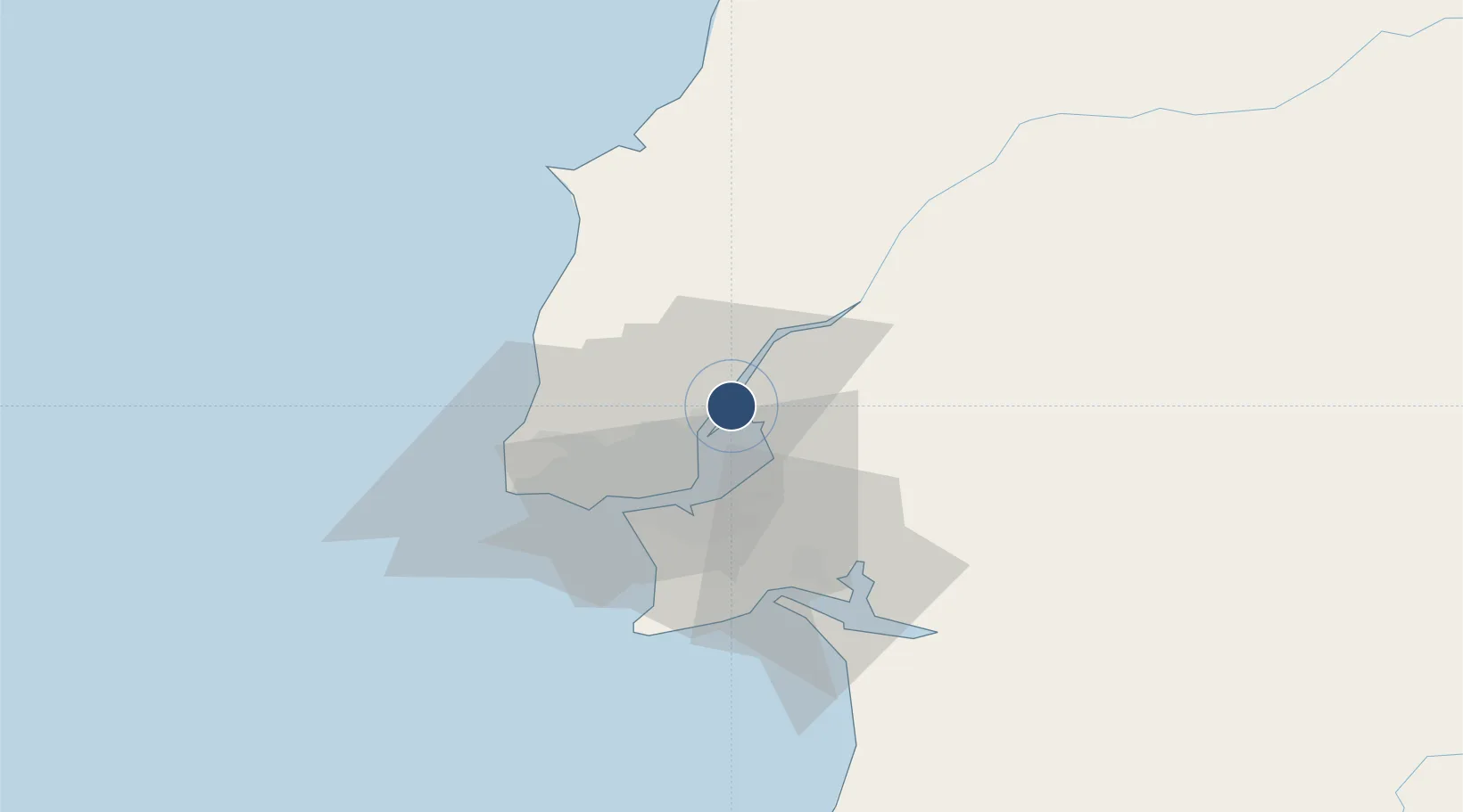
38.8833°, -9.0301°
9,810 ft
Longest runway
1
Runways
11 ft
Elevation
Runway & Layout

Radio Frequencies
TWR
119.225 MHz
GND
138.8 MHz
Runways · 1
| Runway | Dimensions | Surface | True heading | Lit |
|---|---|---|---|---|
| 04/22 | 9,810 × 148ft | Asphalt | 033° | ✓ |
Airport Specifications
ICAO code
LPAR
Airport class
Medium airport
Scheduled service
No
Runway surface
Asphalt
Served city
Vila Franca de Xira
Location
Nearby Logistics Neighbours
Airports
- 1Lisbon Humberto Delgado Airport15 km
- 2Montijo Air Base19 km
- 3Sintra Air Base27 km
- 4Cascais Airport33 km
- 5Tancos Airbase87 km
Cities
- 1Alverca2 km
- 2Sobralinho4 km
- 3Póvoa de Santa Iria5 km
- 4Santa Iria de Azoia6 km
- 5Bobadela8 km
Ports
- 1Lisboa24 km
- 2Setubal42 km
- 3Sines105 km
- 4Figueira Da Foz142 km
- 5Aveiro199 km
Trade Zones
- 1VGP Park Santa Maria da Feira231 km
- 2Puerto de Huelva256 km
- 3Zona Livre Tecnológica Masotinhos257 km
- 4Zona Franca de Sevilla316 km
- 5Zona Franca de Cádiz360 km
DatabookThe Record of Consolidated Knowledge
Portugal beyond logistics?