Transport Functions
Multimodal
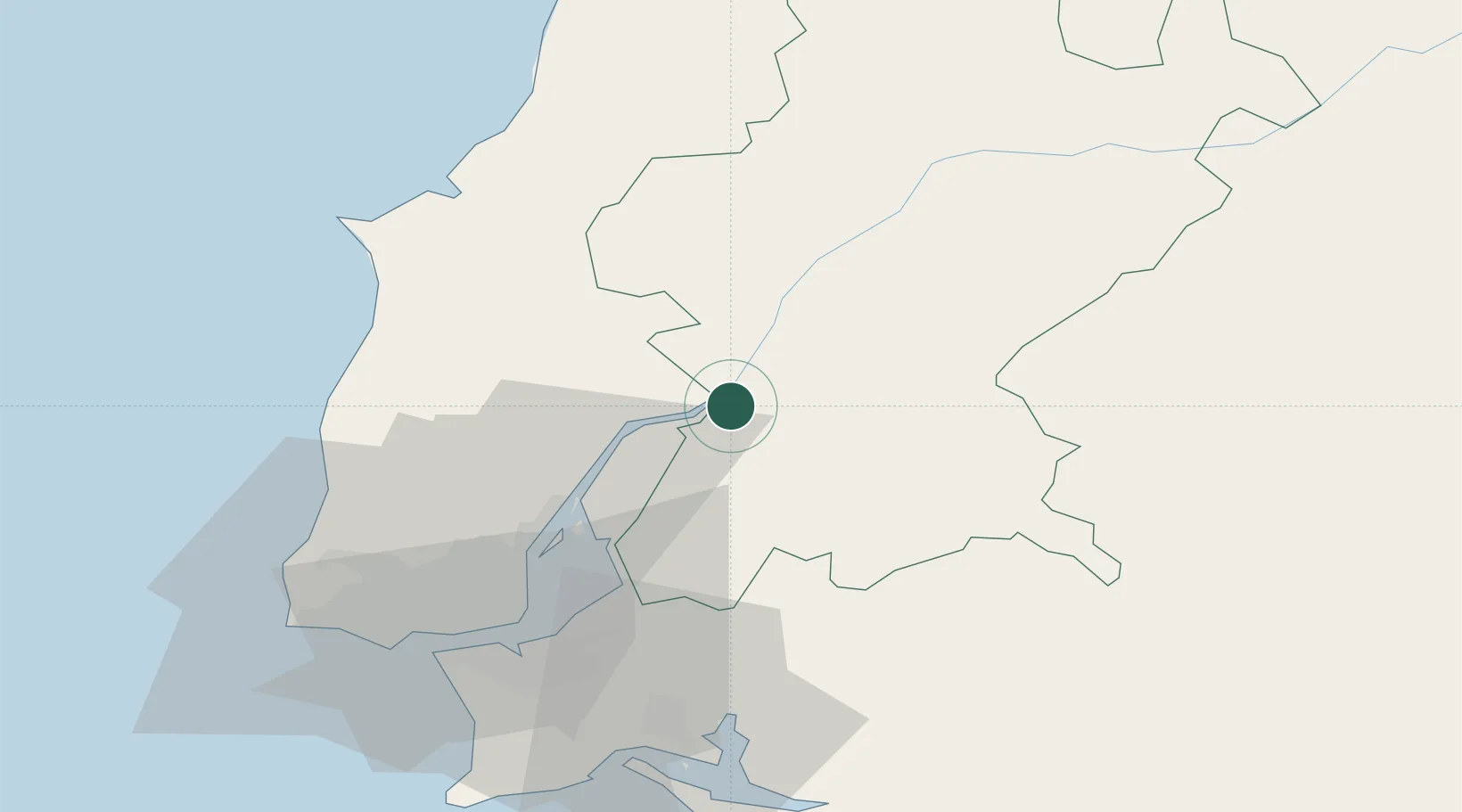
Hub Profile
Place type
Populated place
Region
Santarém
Time zone
Europe/Lisbon
Elevation
7 m
Location
Nearby Logistics Neighbours
Cities
- 1Muge6 km
- 2Marinhais6 km
- 3Salvaterra de Magos6 km
- 4Azambuja9 km
- 5Cartaxo9 km
Ports
- 1Lisboa54 km
- 2Setubal62 km
- 3Figueira Da Foz121 km
- 4Sines125 km
- 5Aveiro176 km
Airports
- 1Alverca Air Base31 km
- 2Lisbon Humberto Delgado Airport45 km
- 3Montijo Air Base46 km
- 4Sintra Air Base56 km
- 5Tancos Airbase57 km
Trade Zones
- 1VGP Park Santa Maria da Feira208 km
- 2Zona Livre Tecnológica Masotinhos235 km
- 3Puerto de Huelva256 km
- 4Zona Franca de Sevilla309 km
- 5Zona Franca de Vigo352 km
DatabookThe Record of Consolidated Knowledge
Portugal beyond logistics?