UN/LOCODE hub · Portugal
PTCXO

Cartaxo

39.1500°, -8.7833°
10,502
Population
2
Transport functions

Transport Functions

Rail
Road
UN/LOCODE

Hub Profile

Place type
Provincial seat
GeoNames
Region
Santarém
GeoNames
Population
10,502
GeoNames
Time zone
Europe/Lisbon
GeoNames
Elevation
59 m
GeoNames

Location

Location of PTCXO
Natural Earth 10m (public domain) · Santarém · PTCXO · 39.15, -8.78GoogleOSMYandex

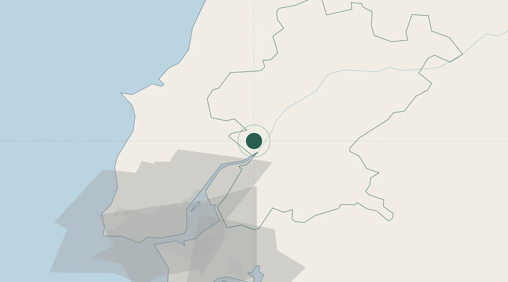
Nearby Logistics Neighbours

Cities
  1. 1Vila Cha de Ourique2 km
  2. 2Muge8 km
  3. 3Valada9 km
  4. 4Azambuja12 km
  5. 5Santarém13 km
Nearest neighbours — logibook spatial index (haversine) over the source coordinates
Ports
  1. 1Lisboa60 km
  2. 2Setubal71 km
  3. 3Figueira Da Foz111 km
  4. 4Sines134 km
  5. 5Aveiro167 km
Nearest neighbours — logibook spatial index (haversine) over the source coordinates
Airports
  1. 1Alverca Air Base37 km
  2. 2Tancos Airbase51 km
  3. 3Lisbon Humberto Delgado Airport51 km
  4. 4Montijo Air Base54 km
  5. 5Sintra Air Base60 km
Nearest neighbours — logibook spatial index (haversine) over the source coordinates
Trade Zones
  1. 1VGP Park Santa Maria da Feira199 km
  2. 2Zona Livre Tecnológica Masotinhos225 km
  3. 3Puerto de Huelva264 km
  4. 4Zona Franca de Sevilla316 km
  5. 5Zona Franca de Vigo342 km
Nearest neighbours — logibook spatial index (haversine) over the source coordinates
DatabookThe Record of Consolidated Knowledge
Portugal beyond logistics?
Browse databook

All Sources

LocationsUN/LOCODE
UN/LOCODE — free
LocationsGeoNames
CC BY 4.0
Portsthe NGA World Port Index
Public domain (US gov)
AirportsOurAirports
Public domain
Trade Zonesthe World Bank SEZ database
CC BY 4.0
Trade ZonesOpen Zone Map
CC BY
← Portugal locations