Transport Functions
Multimodal
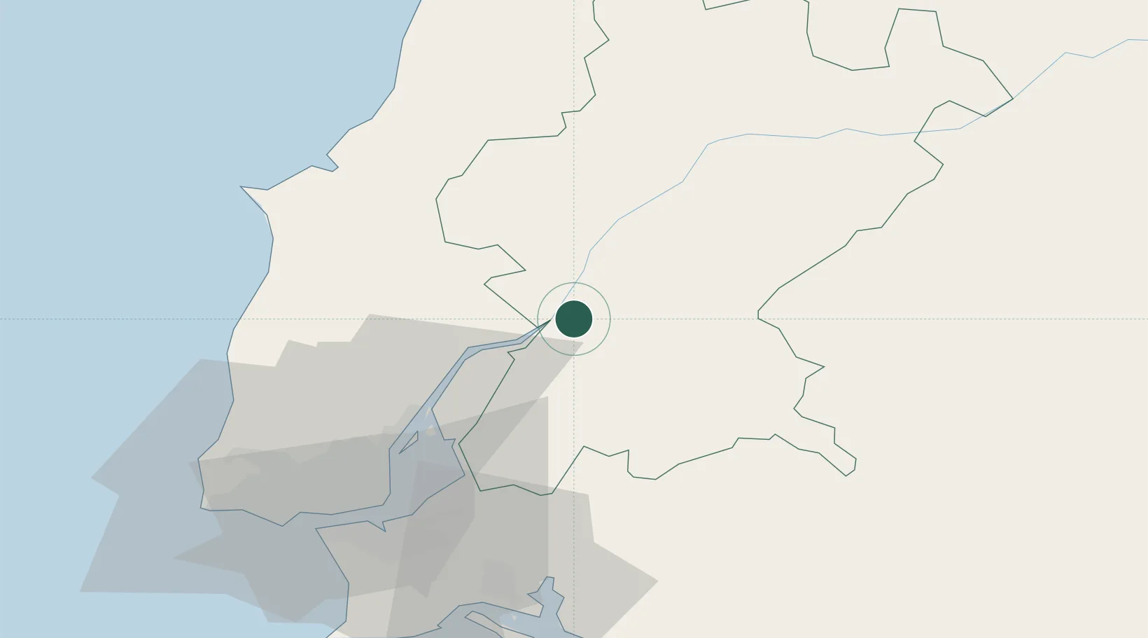
Hub Profile
Place type
Populated place
Region
Santarém
Time zone
Europe/Lisbon
Elevation
13 m
Location
Nearby Logistics Neighbours
Cities
- 1Valada6 km
- 2Marinhais6 km
- 3Cartaxo8 km
- 4Vila Cha de Ourique9 km
- 5Salvaterra de Magos12 km
Ports
- 1Lisboa59 km
- 2Setubal67 km
- 3Figueira Da Foz117 km
- 4Sines129 km
- 5Aveiro172 km
Airports
- 1Alverca Air Base36 km
- 2Lisbon Humberto Delgado Airport51 km
- 3Montijo Air Base51 km
- 4Tancos Airbase52 km
- 5Aeródromo Municipal de Ponte de Sor58 km
Trade Zones
- 1VGP Park Santa Maria da Feira204 km
- 2Zona Livre Tecnológica Masotinhos231 km
- 3Puerto de Huelva256 km
- 4Zona Franca de Sevilla308 km
- 5Zona Franca de Vigo348 km
DatabookThe Record of Consolidated Knowledge
Portugal beyond logistics?