Transport Functions
Rail
Road
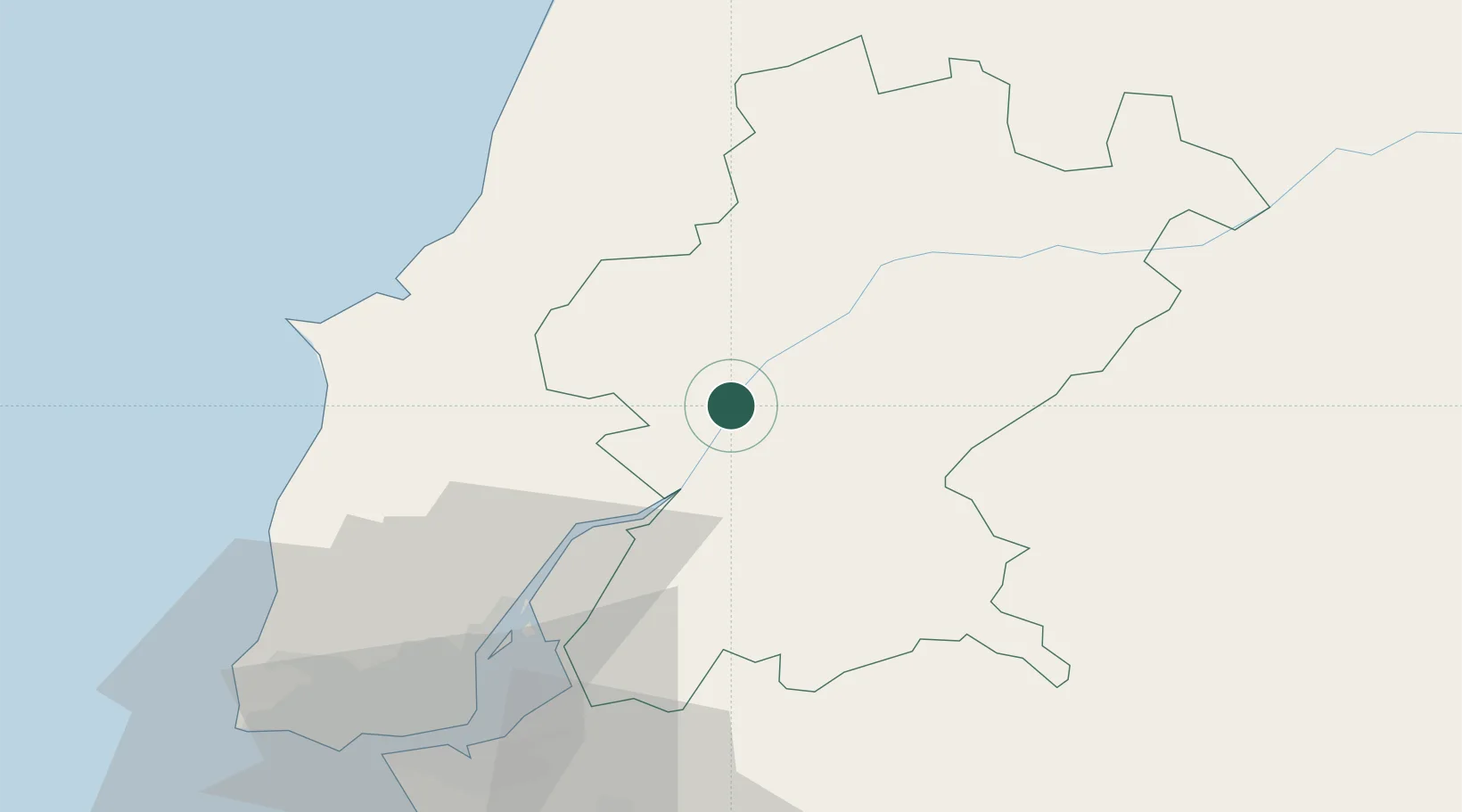
Hub Profile
Place type
Regional capital
Region
Santarém
Population
29,385
Time zone
Europe/Lisbon
Elevation
130 m
Location
Nearby Logistics Neighbours
Cities
- 1Vila Cha de Ourique10 km
- 2Cartaxo13 km
- 3Muge15 km
- 4São João da Ribeira15 km
- 5Valada20 km
Ports
- 1Lisboa73 km
- 2Setubal82 km
- 3Figueira Da Foz103 km
- 4Sines144 km
- 5Aveiro158 km
Airports
- 1Tancos Airbase38 km
- 2Alverca Air Base49 km
- 3Aeródromo Municipal de Ponte de Sor54 km
- 4Lisbon Humberto Delgado Airport64 km
- 5Montijo Air Base66 km
Trade Zones
- 1VGP Park Santa Maria da Feira189 km
- 2Zona Livre Tecnológica Masotinhos216 km
- 3Puerto de Huelva266 km
- 4Zona Franca de Sevilla315 km
- 5Zona Franca de Vigo333 km
DatabookThe Record of Consolidated Knowledge
Portugal beyond logistics?