UN/LOCODE hub · Portugal
PTSMG
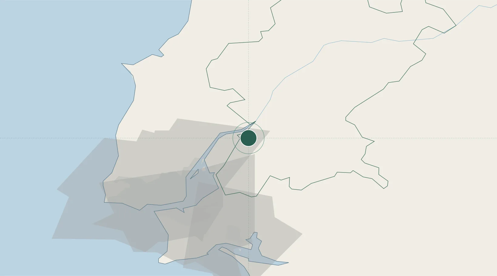
Salvaterra de Magos
39.0167°, -8.8000°
5,165
Population
2
Transport functions
Transport Functions
Road
Multimodal
Hub Profile
Place type
Provincial seat
Region
Santarém
Population
5,165
Time zone
Europe/Lisbon
Elevation
13 m
Location
Nearby Logistics Neighbours
Cities
- 1Benavente4 km
- 2Valada6 km
- 3Azambuja8 km
- 4Marinhais9 km
- 5Vila Nova da Rainha12 km
Ports
- 1Lisboa47 km
- 2Setubal56 km
- 3Sines119 km
- 4Figueira Da Foz126 km
- 5Aveiro182 km
Airports
- 1Alverca Air Base25 km
- 2Lisbon Humberto Delgado Airport39 km
- 3Montijo Air Base40 km
- 4Sintra Air Base51 km
- 5Cascais Airport58 km
Trade Zones
- 1VGP Park Santa Maria da Feira214 km
- 2Zona Livre Tecnológica Masotinhos240 km
- 3Puerto de Huelva253 km
- 4Zona Franca de Sevilla308 km
- 5Zona Franca de Vigo357 km
DatabookThe Record of Consolidated Knowledge
Portugal beyond logistics?