Transport Functions
Rail
Road
Hub Profile
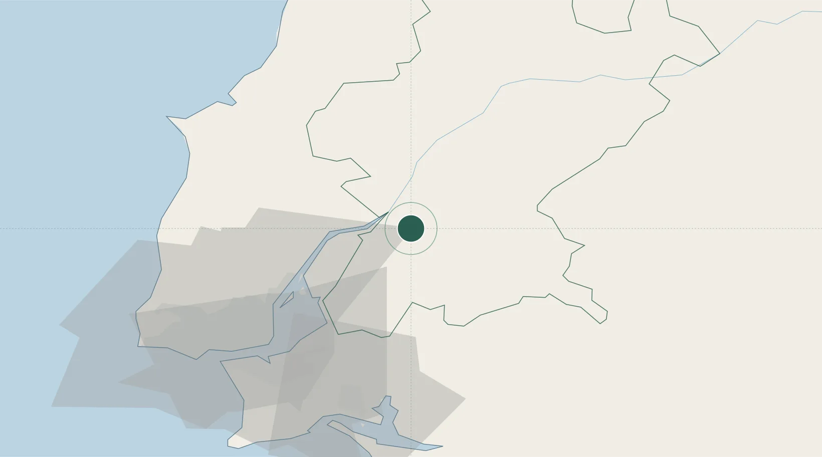
Place type
Populated place
Region
Santarém
Population
5,788
Time zone
Europe/Lisbon
Elevation
34 m
Location
Nearby Logistics Neighbours
Cities
- 1Muge6 km
- 2Valada6 km
- 3Salvaterra de Magos9 km
- 4Benavente11 km
- 5Cartaxo13 km
Ports
- 1Lisboa56 km
- 2Setubal62 km
- 3Figueira Da Foz123 km
- 4Sines123 km
- 5Aveiro178 km
Airports
- 1Alverca Air Base34 km
- 2Montijo Air Base48 km
- 3Lisbon Humberto Delgado Airport48 km
- 4Tancos Airbase55 km
- 5Aeródromo Municipal de Ponte de Sor58 km
Trade Zones
- 1VGP Park Santa Maria da Feira210 km
- 2Zona Livre Tecnológica Masotinhos236 km
- 3Puerto de Huelva251 km
- 4Zona Franca de Sevilla303 km
- 5Zona Franca de Vigo354 km
DatabookThe Record of Consolidated Knowledge
Portugal beyond logistics?