Transport Functions
Road
Multimodal
Hub Profile
Place type
Populated place
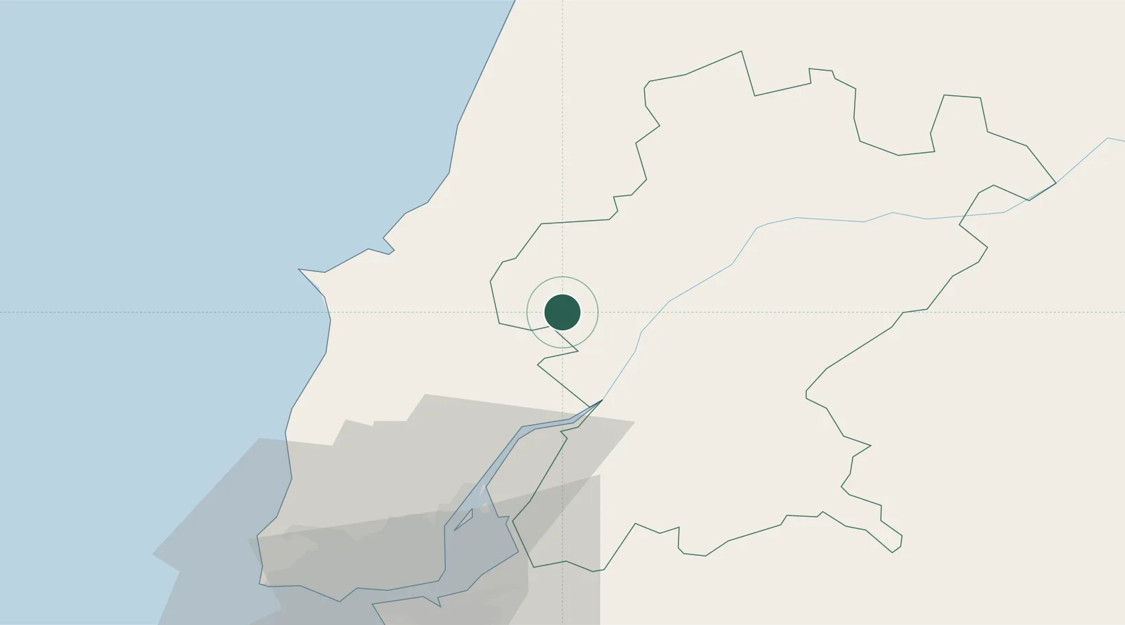
Region
Santarém
Time zone
Europe/Lisbon
Elevation
30 m
Location
Nearby Logistics Neighbours
Cities
- 1Vila Cha de Ourique15 km
- 2Santarém15 km
- 3Cartaxo16 km
- 4Muge23 km
- 5Azambuja24 km
Ports
- 1Lisboa70 km
- 2Setubal85 km
- 3Figueira Da Foz96 km
- 4Sines148 km
- 5Aveiro153 km
Airports
- 1Tancos Airbase47 km
- 2Alverca Air Base47 km
- 3Monte Real Air Base61 km
- 4Lisbon Humberto Delgado Airport61 km
- 5Sintra Air Base66 km
Trade Zones
- 1VGP Park Santa Maria da Feira185 km
- 2Zona Livre Tecnológica Masotinhos211 km
- 3Puerto de Huelva279 km
- 4Zona Franca de Vigo328 km
- 5Zona Franca de Sevilla330 km
DatabookThe Record of Consolidated Knowledge
Portugal beyond logistics?