UN/LOCODE hub · Portugal
PTSBM
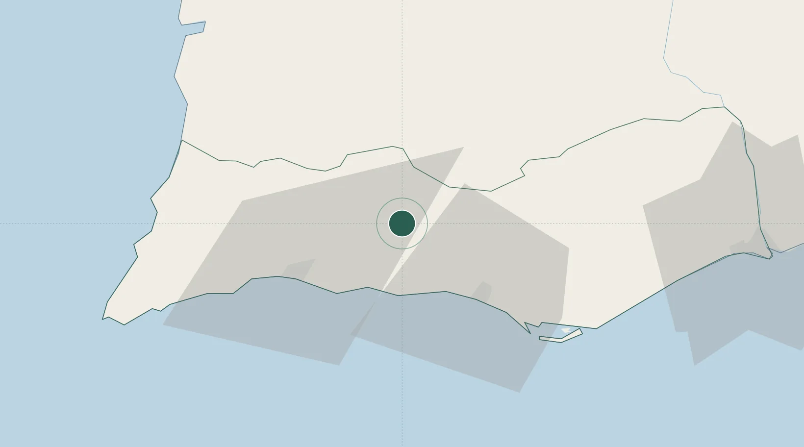
São Bartolomeu de Messines
37.2500°, -8.2833°
8,381
Population
2
Transport functions
Transport Functions
Rail
Road
Hub Profile
Place type
Populated place
Region
Faro
Population
8,381
Time zone
Europe/Lisbon
Elevation
132 m
Location
Nearby Logistics Neighbours
Cities
- 1Silves15 km
- 2Armação de Pêra18 km
- 3Albufeira19 km
- 4Boliqueime19 km
- 5Olhos de Água21 km
Ports
- 1Lagos34 km
- 2Faro39 km
- 3Vila Real De S Antonio79 km
- 4Sines93 km
- 5Huelva118 km
Airports
- 1Portimão Airport29 km
- 2Faro - Gago Coutinho International Airport38 km
- 3Beja Airport / Airbase97 km
- 4Évora Airfield147 km
- 5Montijo Air Base175 km
Trade Zones
- 1Puerto de Huelva117 km
- 2Zona Franca de Cádiz198 km
- 3Zona Franca de Sevilla202 km
- 4Tanger Free Export Zone272 km
- 5Depósito Franco de Algeciras283 km
DatabookThe Record of Consolidated Knowledge
Portugal beyond logistics?