Transport Functions
Port
Rail
Road
Hub Profile
Place type
Provincial seat
Region
Portalegre
Population
11,062
Time zone
Europe/Lisbon
Elevation
108 m
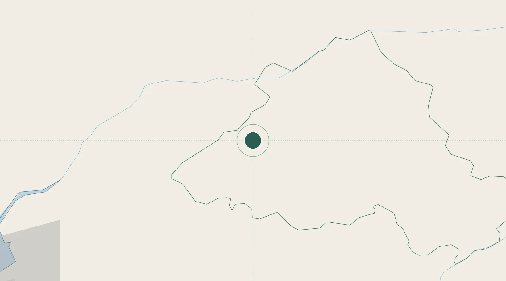
Location
Nearby Logistics Neighbours
Ports
- 1Setubal112 km
- 2Lisboa117 km
- 3Figueira Da Foz123 km
- 4Sines162 km
- 5Aveiro165 km
Airports
Trade Zones
- 1VGP Park Santa Maria da Feira193 km
- 2Zona Livre Tecnológica Masotinhos221 km
- 3Puerto de Huelva240 km
- 4Zona Franca de Sevilla276 km
- 5Zona Franca de Vigo337 km
DatabookThe Record of Consolidated Knowledge
Portugal beyond logistics?