Transport Functions
Multimodal
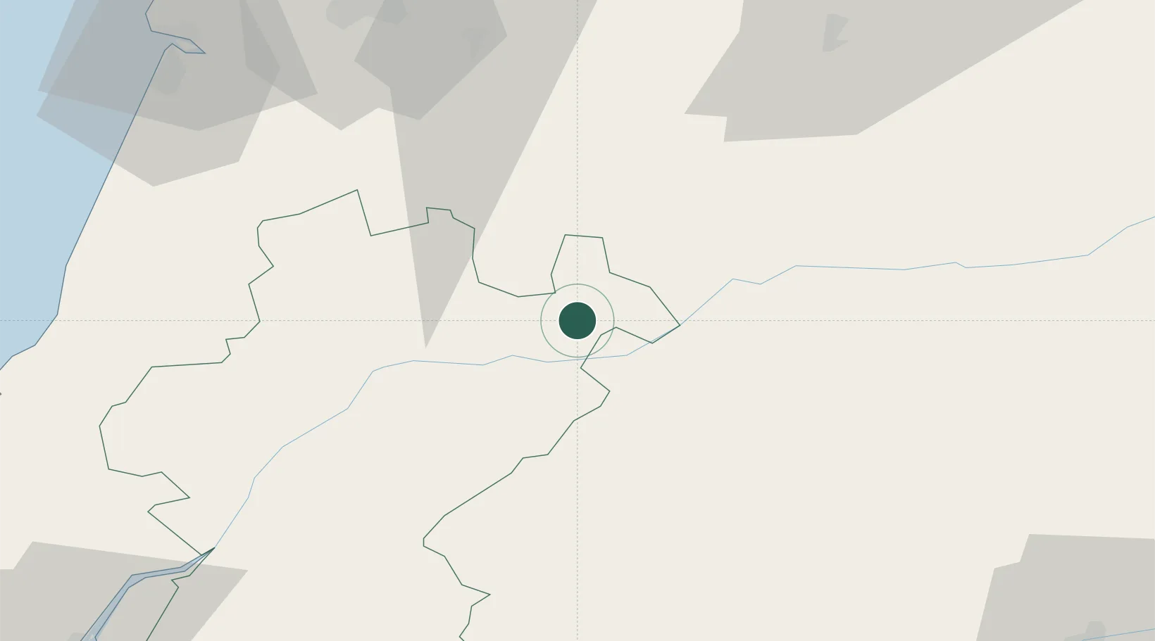
Hub Profile
Place type
Populated place
Region
Santarém
Time zone
Europe/Lisbon
Elevation
307 m
Location
Nearby Logistics Neighbours
Cities
- 1Abrantes19 km
- 2Tramagal24 km
- 3Vila Velha de Ródão29 km
- 4Herdade33 km
- 5Tomar35 km
Ports
- 1Figueira Da Foz96 km
- 2Aveiro132 km
- 3Lisboa138 km
- 4Setubal140 km
- 5Oporto185 km
Airports
Trade Zones
- 1VGP Park Santa Maria da Feira159 km
- 2Zona Livre Tecnológica Masotinhos188 km
- 3Puerto de Huelva273 km
- 4Zona Franca de Vigo303 km
- 5Zona Franca de Sevilla304 km
DatabookThe Record of Consolidated Knowledge
Portugal beyond logistics?