Transport Functions
Rail
Road
Hub Profile
Place type
Provincial seat
Region
Santarém
Population
13,646
Time zone
Europe/Lisbon
Elevation
133 m
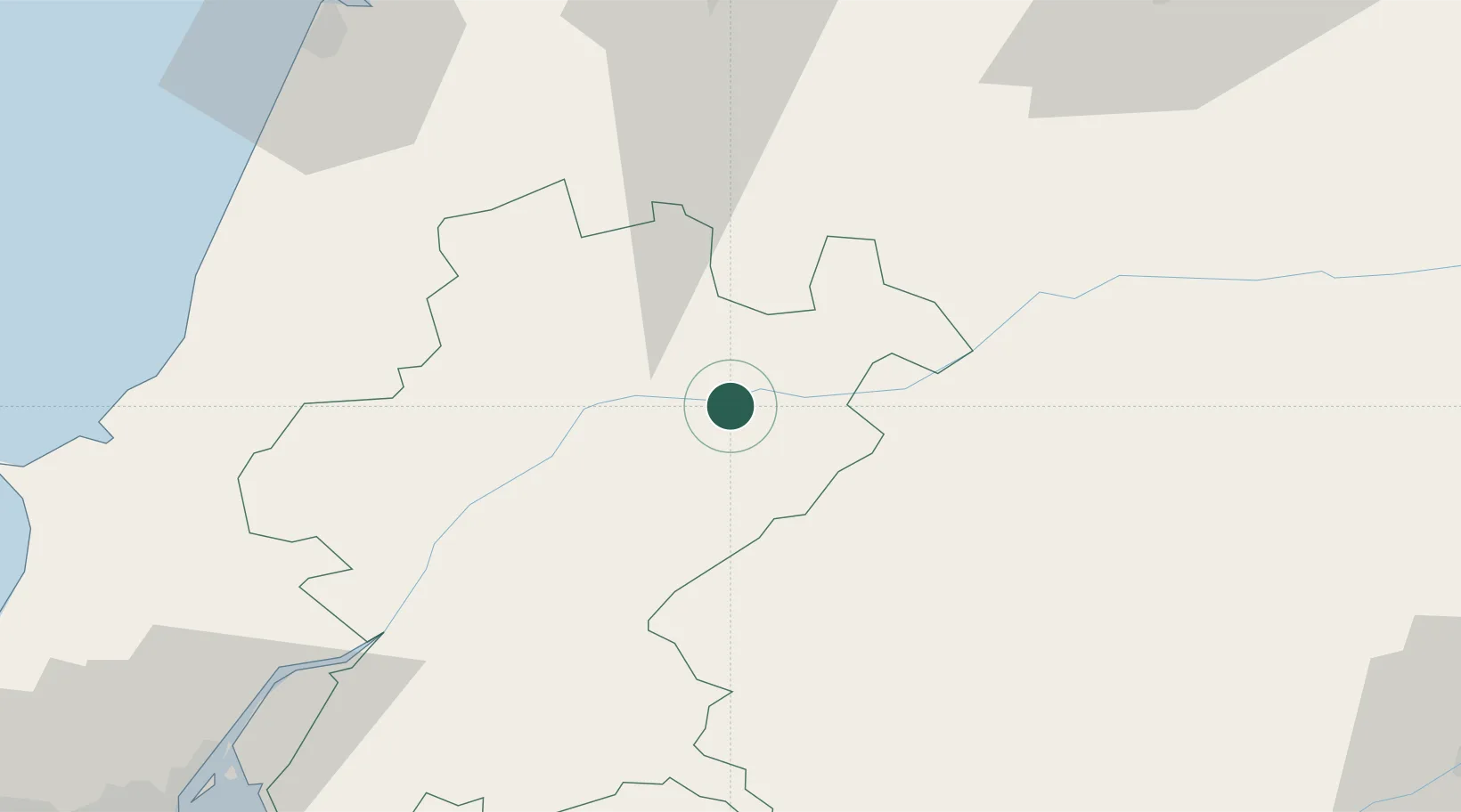
Location
Nearby Logistics Neighbours
Cities
- 1Tramagal5 km
- 2Ventosa19 km
- 3Entroncamento23 km
- 4Tomar24 km
- 5Madalena24 km
Ports
- 1Figueira Da Foz94 km
- 2Lisboa119 km
- 3Setubal122 km
- 4Aveiro137 km
- 5Sines178 km
Airports
Trade Zones
- 1VGP Park Santa Maria da Feira166 km
- 2Zona Livre Tecnológica Masotinhos194 km
- 3Puerto de Huelva268 km
- 4Zona Franca de Sevilla305 km
- 5Zona Franca de Vigo311 km
DatabookThe Record of Consolidated Knowledge
Portugal beyond logistics?