Transport Functions
Port
Hub Profile
Place type
Populated place
Region
Faro
Population
1,455
Time zone
Europe/Lisbon
Elevation
10 m
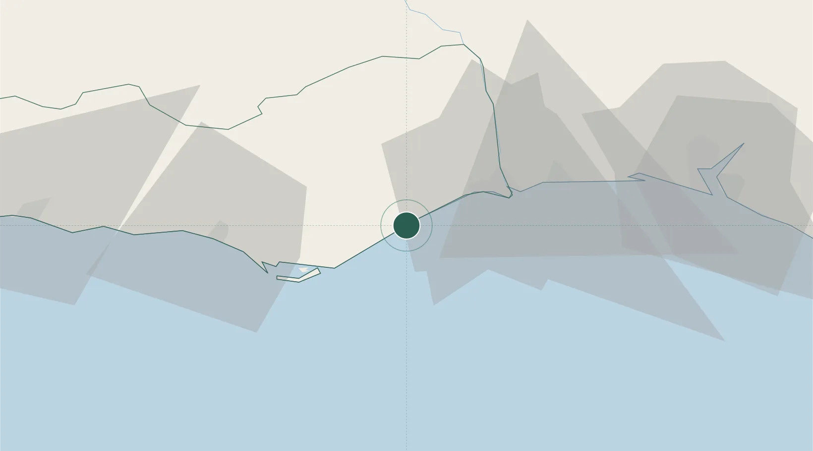
Location
Nearby Logistics Neighbours
Cities
- 1Tavira2 km
- 2Fuzeta11 km
- 3Olhão18 km
- 4Castro Marim23 km
- 5Vila Real de Santo António24 km
Ports
- 1Vila Real De S Antonio24 km
- 2Faro26 km
- 3Huelva64 km
- 4Lagos86 km
- 5Rota129 km
Airports
Trade Zones
- 1Puerto de Huelva64 km
- 2Zona Franca de Cádiz140 km
- 3Zona Franca de Sevilla148 km
- 4Tanger Free Export Zone219 km
- 5Depósito Franco de Algeciras225 km
DatabookThe Record of Consolidated Knowledge
Portugal beyond logistics?