Transport Functions
Road
Multimodal
Hub Profile
Place type
Provincial seat
Region
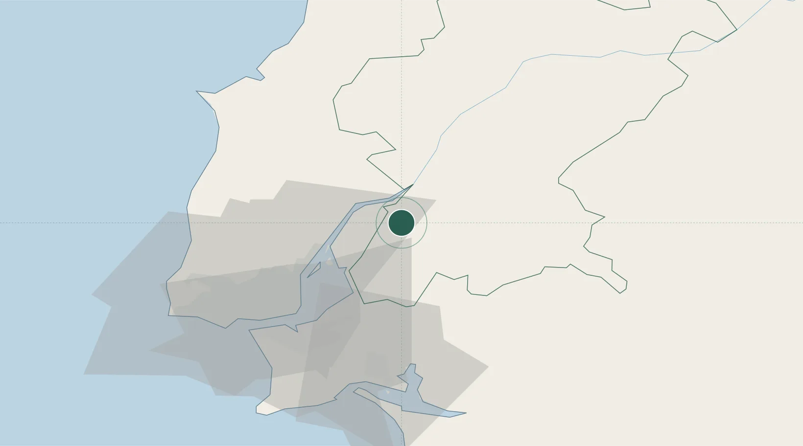
Santarém
Population
8,932
Time zone
Europe/Lisbon
Elevation
13 m
Location
Nearby Logistics Neighbours
Cities
- 1Salvaterra de Magos4 km
- 2Valada10 km
- 3Azambuja11 km
- 4Marinhais11 km
- 5Vila Nova da Rainha13 km
Ports
- 1Lisboa45 km
- 2Setubal53 km
- 3Sines115 km
- 4Figueira Da Foz130 km
- 5Aveiro186 km
Airports
- 1Alverca Air Base23 km
- 2Montijo Air Base37 km
- 3Lisbon Humberto Delgado Airport37 km
- 4Sintra Air Base50 km
- 5Cascais Airport56 km
Trade Zones
- 1VGP Park Santa Maria da Feira218 km
- 2Zona Livre Tecnológica Masotinhos244 km
- 3Puerto de Huelva250 km
- 4Zona Franca de Sevilla306 km
- 5Zona Franca de Cádiz355 km
DatabookThe Record of Consolidated Knowledge
Portugal beyond logistics?