Transport Functions
Rail
Road
Hub Profile
Place type
Provincial seat
Region
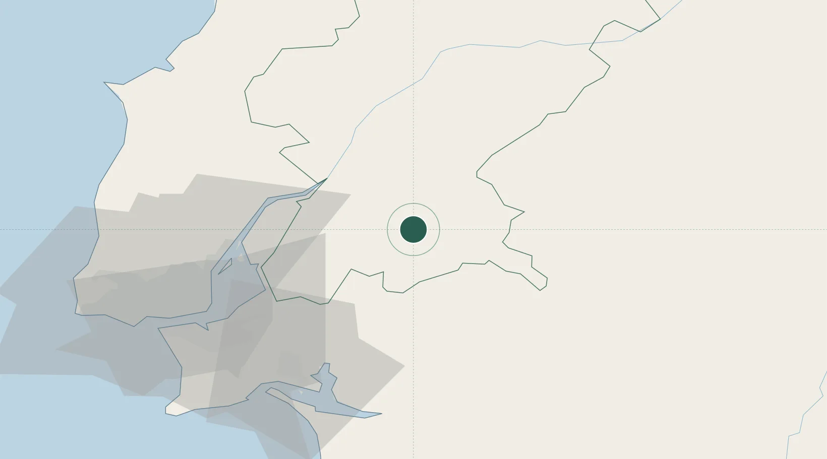
Santarém
Population
8,776
Time zone
Europe/Lisbon
Elevation
21 m
Location
Nearby Logistics Neighbours
Cities
- 1Marinhais19 km
- 2Santo Estevao22 km
- 3Muge24 km
- 4Benavente25 km
- 5Valada25 km
Ports
- 1Setubal59 km
- 2Lisboa63 km
- 3Sines115 km
- 4Figueira Da Foz137 km
- 5Aveiro189 km
Airports
- 1Alverca Air Base45 km
- 2Aeródromo Municipal de Ponte de Sor49 km
- 3Montijo Air Base52 km
- 4Lisbon Humberto Delgado Airport57 km
- 5Tancos Airbase60 km
Trade Zones
- 1VGP Park Santa Maria da Feira220 km
- 2Puerto de Huelva232 km
- 3Zona Livre Tecnológica Masotinhos248 km
- 4Zona Franca de Sevilla284 km
- 5Zona Franca de Cádiz337 km
DatabookThe Record of Consolidated Knowledge
Portugal beyond logistics?