Transport Functions
Rail
Road
Hub Profile
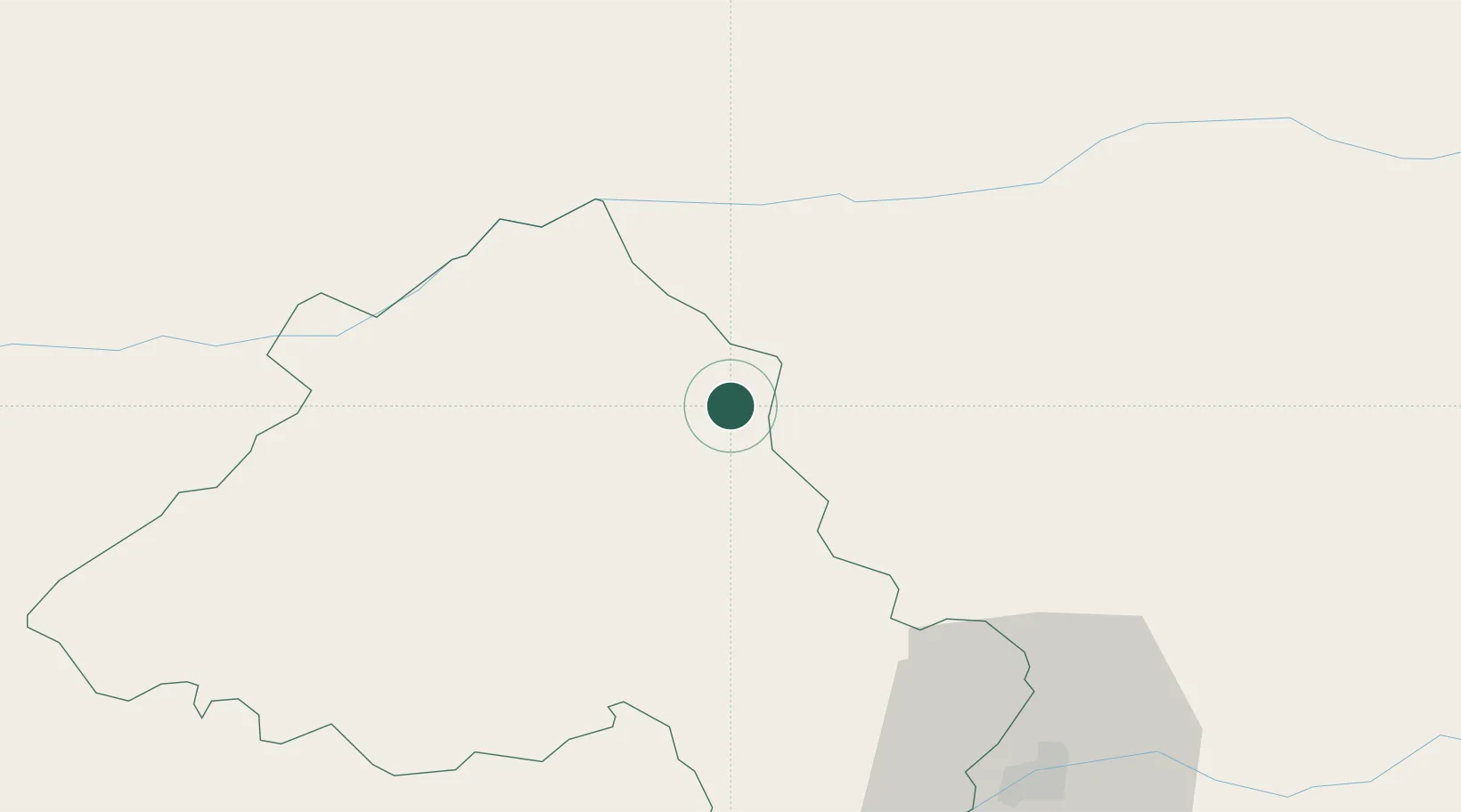
Place type
Populated place
Region
Portalegre
Population
3,739
Time zone
Europe/Lisbon
Elevation
825 m
Location
Nearby Logistics Neighbours
Cities
- 1Castelo de Vide6 km
- 2Valencia de Alcántara13 km
- 3Crato26 km
- 4Cabeço de Vide34 km
- 5Alburqueque39 km
Ports
- 1Figueira Da Foz151 km
- 2Setubal164 km
- 3Lisboa173 km
- 4Aveiro176 km
- 5Sines206 km
Airports
- 1Aerodromo de Castelo Branco50 km
- 2Aeródromo Municipal de Ponte de Sor62 km
- 3Estremoz Municipal Heliport67 km
- 4Badajoz Airport75 km
- 5Tancos Airbase85 km
Trade Zones
- 1VGP Park Santa Maria da Feira198 km
- 2Zona Livre Tecnológica Masotinhos226 km
- 3Puerto de Huelva241 km
- 4Zona Franca de Sevilla259 km
- 5Zona Franca de Vigo335 km
DatabookThe Record of Consolidated Knowledge
Portugal beyond logistics?