UN/LOCODE hub · Poland
PLDBA
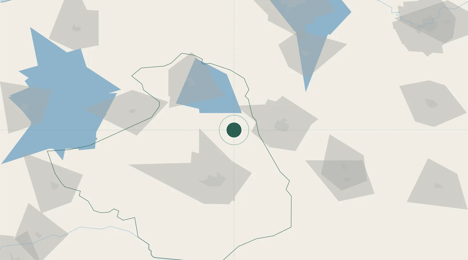
Dabrowa Bialostocka
53.6500°, 23.3500°
6,044
Population
2
Transport functions
Transport Functions
Rail
Road
Hub Profile
Place type
District seat
Region
Podlasie
Population
6,044
Time zone
Europe/Warsaw
Elevation
144 m
Location
Nearby Logistics Neighbours
Cities
- 1Kuznica Bialostocka26 km
- 2Grodno32 km
- 3Augustów32 km
- 4Monki45 km
- 5Grajewo59 km
Ports
- 1Kaliningrad220 km
- 2Baltiysk250 km
- 3Klaipeda271 km
- 4Butinge Oil Terminal306 km
- 5Gdansk316 km
Airports
- 1Hrodna Airport47 km
- 2Chernyakhovsk Naval Air Base147 km
- 3Kaunas International Airport154 km
- 4Osovtsy Air Base159 km
- 5Olsztyn-Mazury Airport160 km
Trade Zones
DatabookThe Record of Consolidated Knowledge
Poland beyond logistics?