Transport Functions
Rail
Road
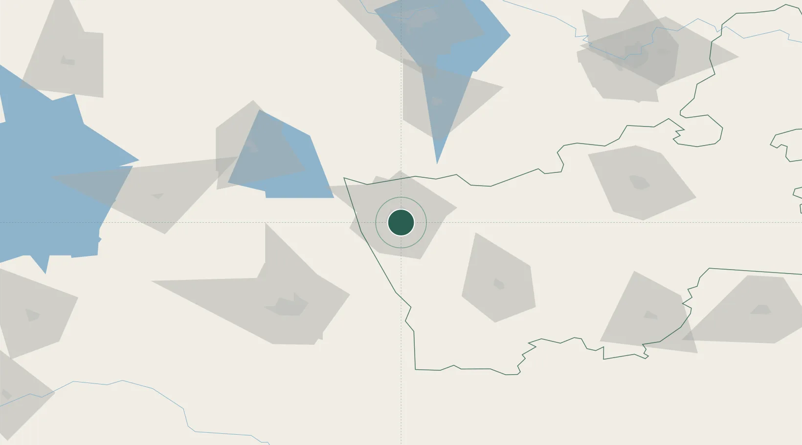
Hub Profile
Place type
Populated place
Region
HR
Time zone
Europe/Minsk
Elevation
179 m
Location
Nearby Logistics Neighbours
Cities
- 1Kuznica Bialostocka22 km
- 2Dabrowa Bialostocka32 km
- 3Augustów59 km
- 4Shchuchyn60 km
- 5Vawkavysk70 km
Ports
- 1Kaliningrad246 km
- 2Baltiysk278 km
- 3Klaipeda287 km
- 4Butinge Oil Terminal321 km
- 5Gdansk346 km
Airports
- 1Hrodna Airport16 km
- 2Osovtsy Air Base142 km
- 3Vilnius International Airport143 km
- 4Kaunas International Airport145 km
- 5Jonava Air Base153 km
Trade Zones
DatabookThe Record of Consolidated Knowledge
Belarus beyond logistics?