Medium airport · Philippines

Francisco B. Reyes (Busuanga) AirportRPVV
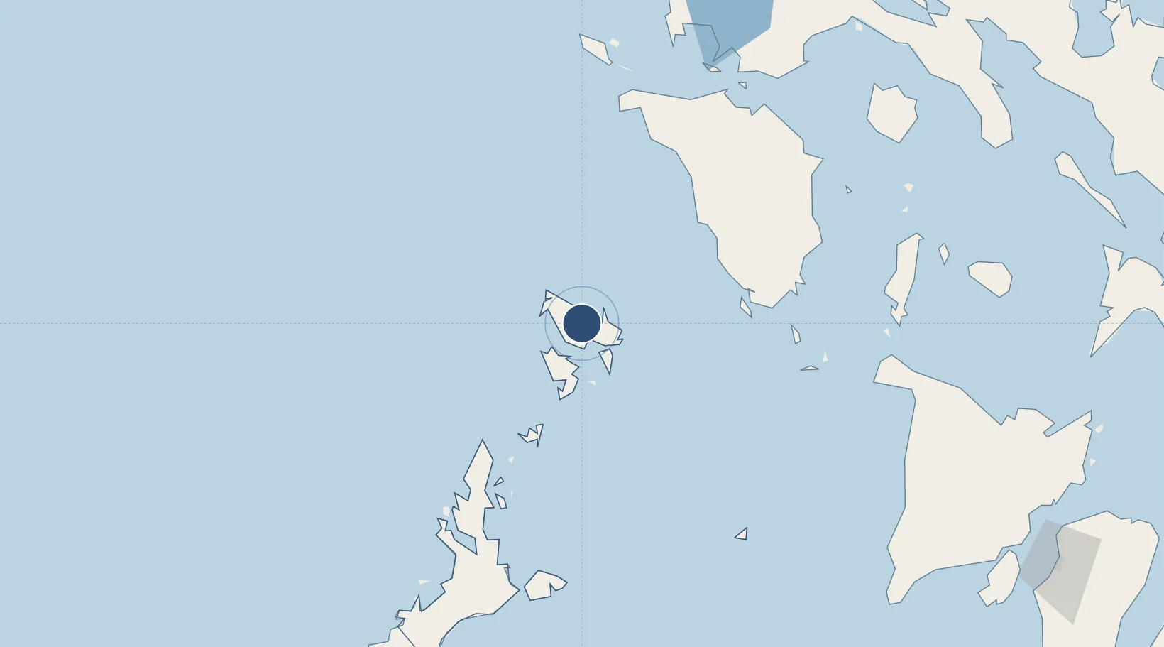
12.1219°, 120.1008°
3,300 ft
Longest runway
1
Runways
148 ft
Elevation

Runway & Layout

Francisco B. Reyes (Busuanga) Airport runway & taxiway layout
Runway & taxiway layout — OpenStreetMap (ODbL) / OurAirports

Runways · 1

RunwayDimensions SurfaceTrue headingLit
08/26 3,300 × 98ft Composite 084°
OurAirports

Airport Specifications

IATA code
USU
OurAirports
ICAO code
RPVV
OurAirports
Airport class
Medium airport
OurAirports
Scheduled service
Yes
OurAirports
Runway surface
Composite
OurAirports
Served city
Coron
OurAirports

Location

Location of RPVV
Natural Earth 10m (public domain) · Palawan · RPVV · 12.12, 120.10GoogleOSMYandex

Nearby Logistics Neighbours

Airports
  1. 1San Jose Airport106 km
  2. 2El Nido Airport127 km
  3. 3Mamburao Airport133 km
  4. 4Cuyo Airport176 km
  5. 5Lubang Airport193 km
Nearest neighbours — logibook spatial index (haversine) over the source coordinates
Cities
  1. 1San Jose Apt, Mindoro110 km
  2. 2El Nido/Puerto Princesa129 km
  3. 3Semirara141 km
  4. 4Tindalo Oil Field176 km
  5. 5Puerto Galera178 km
Nearest neighbours — logibook spatial index (haversine) over the source coordinates
Ports
  1. 1Calapan186 km
  2. 2Batangas City208 km
  3. 3Nasugbu225 km
  4. 4Port Romblon241 km
  5. 5Mariveles260 km
Nearest neighbours — logibook spatial index (haversine) over the source coordinates
Trade Zones
  1. 1Mangenguey Island Resort Project28 km
  2. 2Pamalican Island Tourism Ecozone109 km
  3. 3Green Tourism Ecozone - Cadlao130 km
  4. 4Green Tourism Ecozone - Miniloc138 km
  5. 5Green Tourism Ecozone - Lagen138 km
Nearest neighbours — logibook spatial index (haversine) over the source coordinates
DatabookThe Record of Consolidated Knowledge
Philippines beyond logistics?
Browse databook

All Sources

AirportsOurAirports
Public domain
Portsthe NGA World Port Index
Public domain (US gov)
LocationsUN/LOCODE
UN/LOCODE — free
Trade Zonesthe World Bank SEZ database
CC BY 4.0
Trade ZonesOpen Zone Map
CC BY
InfrastructureOpenStreetMap
ODbL 1.0
← Philippines airports