Medium airport · Philippines
Roxas AirportRPVR
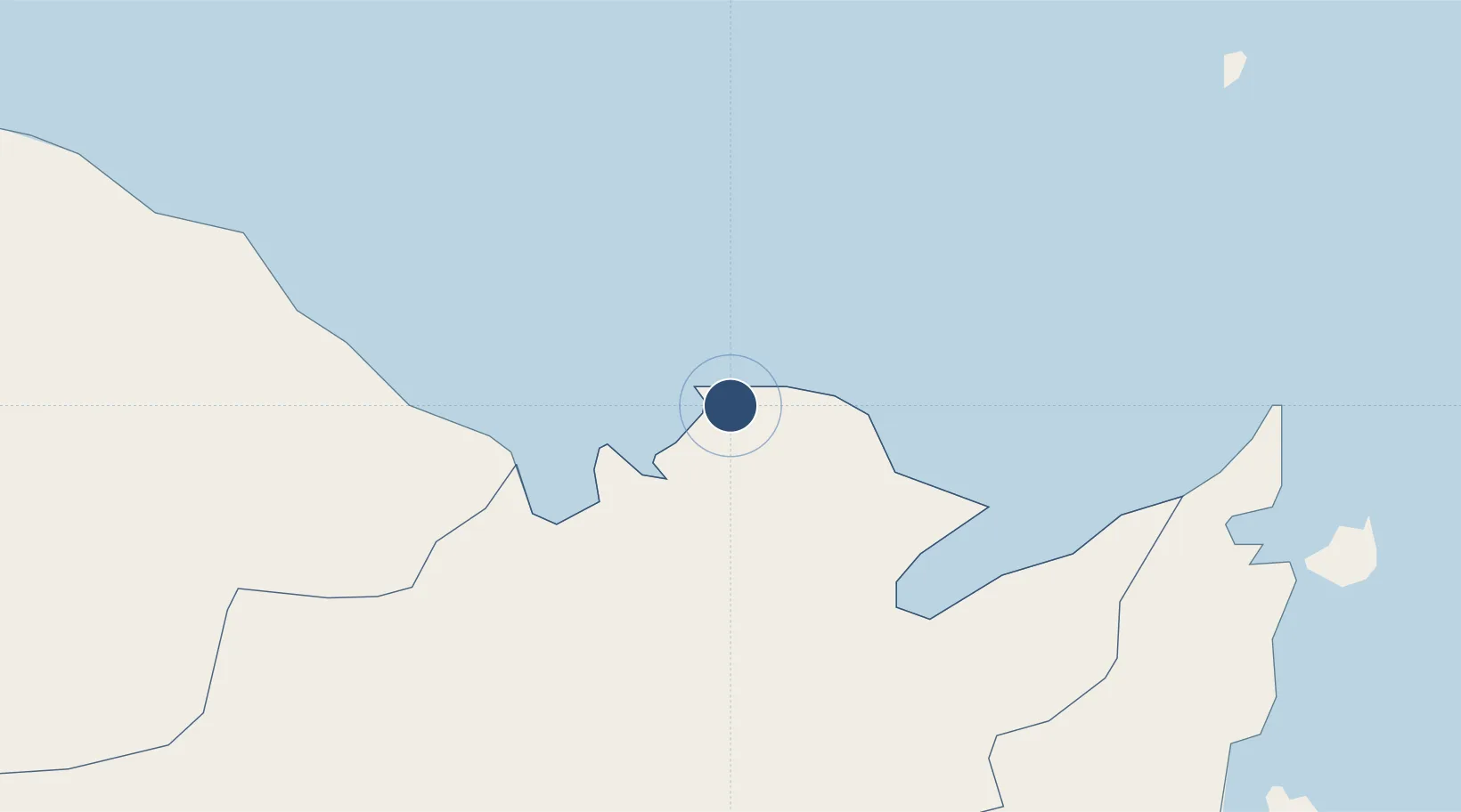
11.5977°, 122.7520°
6,201 ft
Longest runway
1
Runways
10 ft
Elevation
Runway & Layout

Radio Frequencies
TWR
118.5 MHz
Navaids
ROX VOR-DME Roxas 112.90 MHz
Runways · 1
| Runway | Dimensions | Surface | True heading | Lit |
|---|---|---|---|---|
| 14/32 | 6,201 × 148ft | Concrete | 145° | ✓ |
Airport Specifications
IATA code
RXS
ICAO code
RPVR
Airport class
Medium airport
Scheduled service
Yes
Runway surface
Concrete
Served city
Roxas City
Location
Nearby Logistics Neighbours
Airports
Cities
- 1Culasi6 km
- 2Ajuy57 km
- 3Cajidiocan, Visayan Isl86 km
- 4Boracay100 km
- 5Iloilo, Panay101 km
Ports
- 1Port Capiz4 km
- 2Iloilo102 km
- 3Pulupandan120 km
- 4Port Romblon122 km
- 5Masbate127 km
Trade Zones
DatabookThe Record of Consolidated Knowledge
Philippines beyond logistics?