Specialized Zone · Philippines

Camarines Sur Tourism Park Under Development
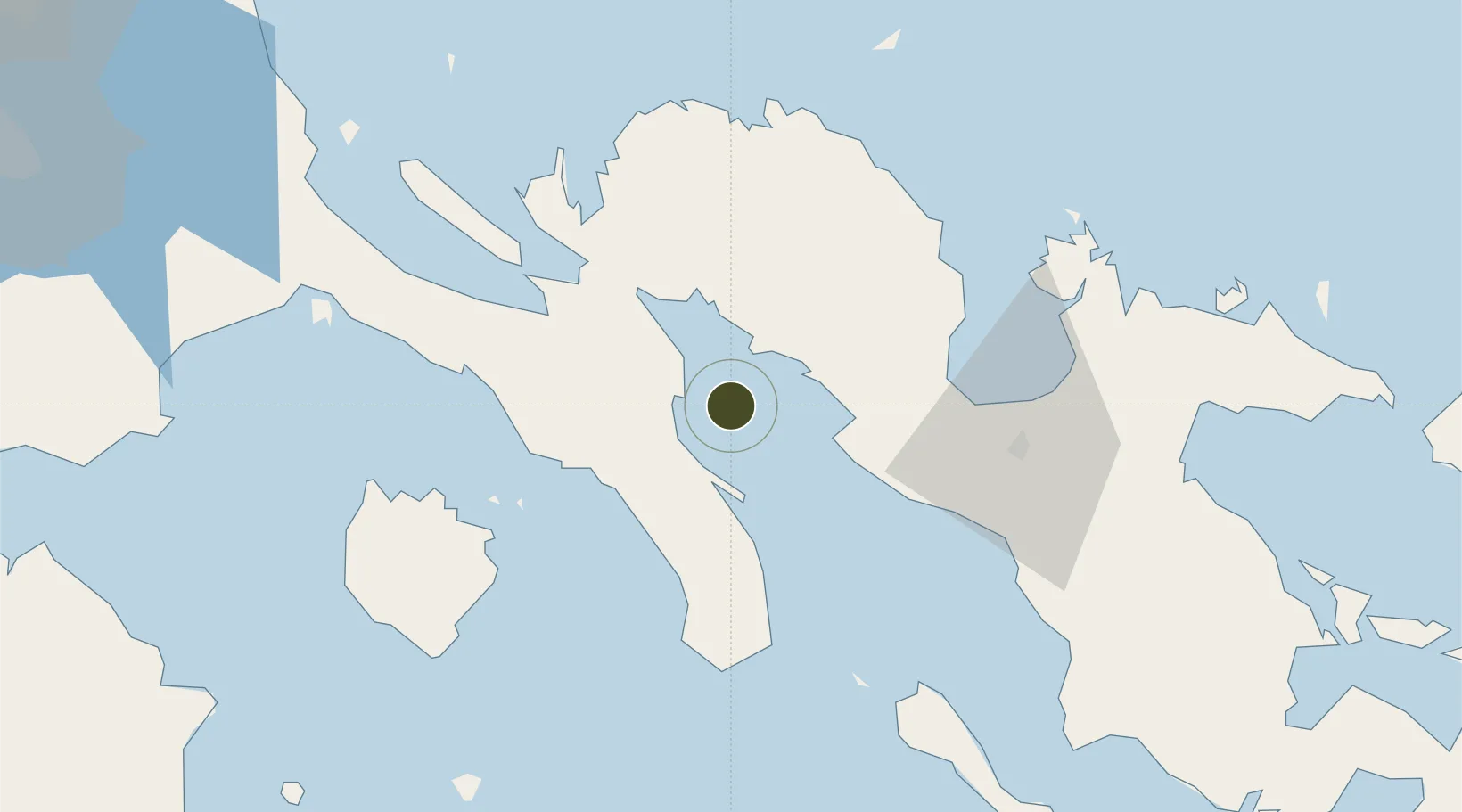
13.7197°, 122.6070°
73 ha
Zone area
47.8 km
Nearest port
60.8 km
Nearest airport

Gateway access

Nearest neighbours — logibook spatial index (haversine) over the source coordinates

Zone profile

Zone type
Specialized Zone
Open Zone Map
Specialization
Tourism
Open Zone Map
Region
Camarines Sur
Open Zone Map
Status
Under Development
Open Zone Map
Management
Public
Open Zone Map
Operator
Provincial Government of Camarines Sur
Open Zone Map
Legal framework
Special Economic Zone Act (Republic Act No. 7916) (as amended by Republic Act No. 8748)
Open Zone Map

Location

Location of ozm-3942
Natural Earth 10m (public domain) · Camarines Sur · ozm-3942 · 13.72, 122.61GoogleOSMYandex

Nearby Logistics Neighbours

Ports
  1. 1Hondagua48 km
  2. 2Jose Panganiban63 km
  3. 3Tabaco128 km
  4. 4Port Romblon132 km
  5. 5Legazpi Port139 km
Nearest neighbours — logibook spatial index (haversine) over the source coordinates
Airports
  1. 1Daet Airport61 km
  2. 2Naga Airport73 km
  3. 3Marinduque Airport93 km
  4. 4Bicol International Airport134 km
  5. 5Tugdan Airport167 km
Nearest neighbours — logibook spatial index (haversine) over the source coordinates
Cities
  1. 1Naga, Luzon62 km
  2. 2Atimonan/Siain82 km
  3. 3Boac, Marinduque90 km
  4. 4Pagbilao103 km
  5. 5Castañas116 km
Nearest neighbours — logibook spatial index (haversine) over the source coordinates
Trade Zones
  1. 1Bicolandia Hills Agro-Industrial Economic Zone63 km
  2. 2Global Industrial Maritime Complex64 km
  3. 3Robinsons Cybergate Naga64 km
  4. 4ALDP E-PARK65 km
  5. 5Jose Panganiban SEZ67 km
Nearest neighbours — logibook spatial index (haversine) over the source coordinates
DatabookThe Record of Consolidated Knowledge
Philippines beyond logistics?
Browse databook

All Sources

Trade ZonesOpen Zone Map
CC BY
Portsthe NGA World Port Index
Public domain (US gov)
AirportsOurAirports
Public domain
LocationsUN/LOCODE
UN/LOCODE — free
← Philippines trade zones