Specialized Zone · Philippines

Bicolandia Hills Agro-Industrial Economic Zone Under Development
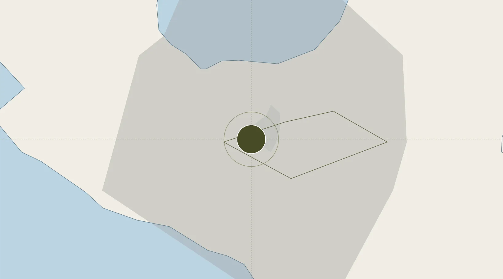
13.6238°, 123.1787°
60 ha
Zone area
66.4 km
Nearest port
10.8 km
Nearest airport

Gateway access

Nearest neighbours — logibook spatial index (haversine) over the source coordinates

Zone profile

Zone type
Specialized Zone
Open Zone Map
Specialization
Agriculture
Open Zone Map
Region
Naga
Open Zone Map
Status
Under Development
Open Zone Map
Management
Private
Open Zone Map
Operator
21st Century Resources and Development Corporation
Open Zone Map
Legal framework
Special Economic Zone Act (Republic Act No. 7916) (as amended by Republic Act No. 8748)
Open Zone Map

Location

Location of ozm-3358
Natural Earth 10m (public domain) · Naga · ozm-3358 · 13.62, 123.18GoogleOSMYandex

Nearby Logistics Neighbours

Ports
  1. 1Tabaco66 km
  2. 2Legazpi Port81 km
  3. 3Jose Panganiban91 km
  4. 4Hondagua108 km
  5. 5Sorsogon115 km
Nearest neighbours — logibook spatial index (haversine) over the source coordinates
Airports
  1. 1Naga Airport11 km
  2. 2Daet Airport60 km
  3. 3Bicol International Airport78 km
  4. 4Virac Airport111 km
  5. 5Moises R. Espinosa Airport148 km
Nearest neighbours — logibook spatial index (haversine) over the source coordinates
Cities
  1. 1Naga, Luzon2 km
  2. 2Tabaco/Legaspi67 km
  3. 3Legaspi Apt, Luzon82 km
  4. 4Gigmoto, Catanduanes131 km
  5. 5Changtu138 km
Nearest neighbours — logibook spatial index (haversine) over the source coordinates
Trade Zones
  1. 1Robinsons Cybergate Naga2 km
  2. 2ALDP E-PARK2 km
  3. 3Camarines Sur IT Park8 km
  4. 4Camarines Sur Agro-Industrial Economic Zone8 km
  5. 5Naga Agro-Industrial Center9 km
Nearest neighbours — logibook spatial index (haversine) over the source coordinates
DatabookThe Record of Consolidated Knowledge
Philippines beyond logistics?
Browse databook

All Sources

Trade ZonesOpen Zone Map
CC BY
Portsthe NGA World Port Index
Public domain (US gov)
AirportsOurAirports
Public domain
LocationsUN/LOCODE
UN/LOCODE — free
← Philippines trade zones