Transport Functions
Port
Hub Profile
Region
MAD
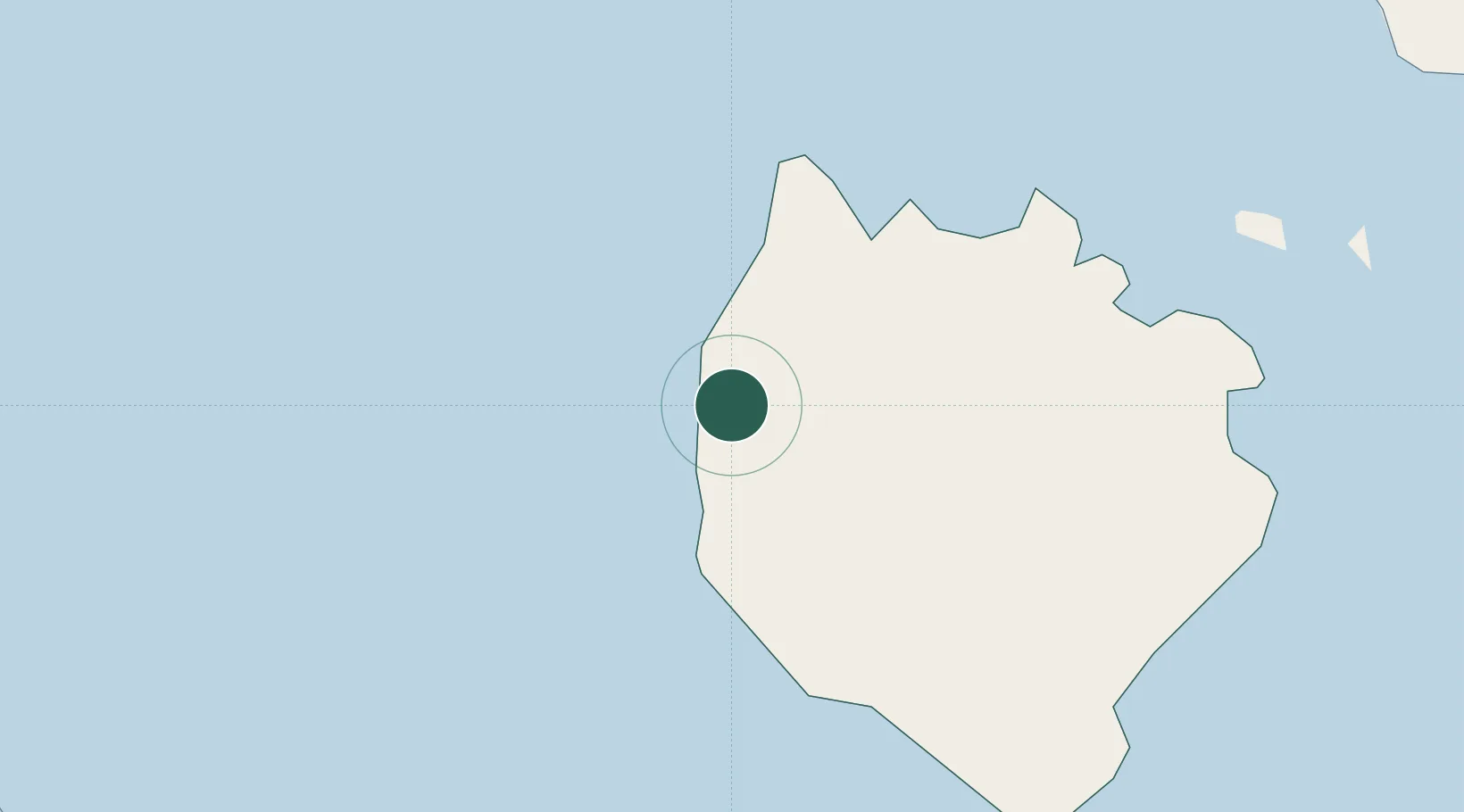
Location
Nearby Logistics Neighbours
Cities
- 1Castañas59 km
- 2Pagbilao62 km
- 3Atimonan/Siain62 km
- 4Candelaria70 km
- 5Binan97 km
Ports
- 1Calapan70 km
- 2Hondagua72 km
- 3Batangas City92 km
- 4Port Romblon106 km
- 5Jose Panganiban132 km
Airports
- 1Marinduque Airport8 km
- 2Tugdan Airport128 km
- 3Mamburao Airport135 km
- 4Daet Airport146 km
- 5San Jose Airport147 km
Trade Zones
DatabookThe Record of Consolidated Knowledge
Philippines beyond logistics?