Specialized Zone · Philippines

Bais City Ecozone Under Development
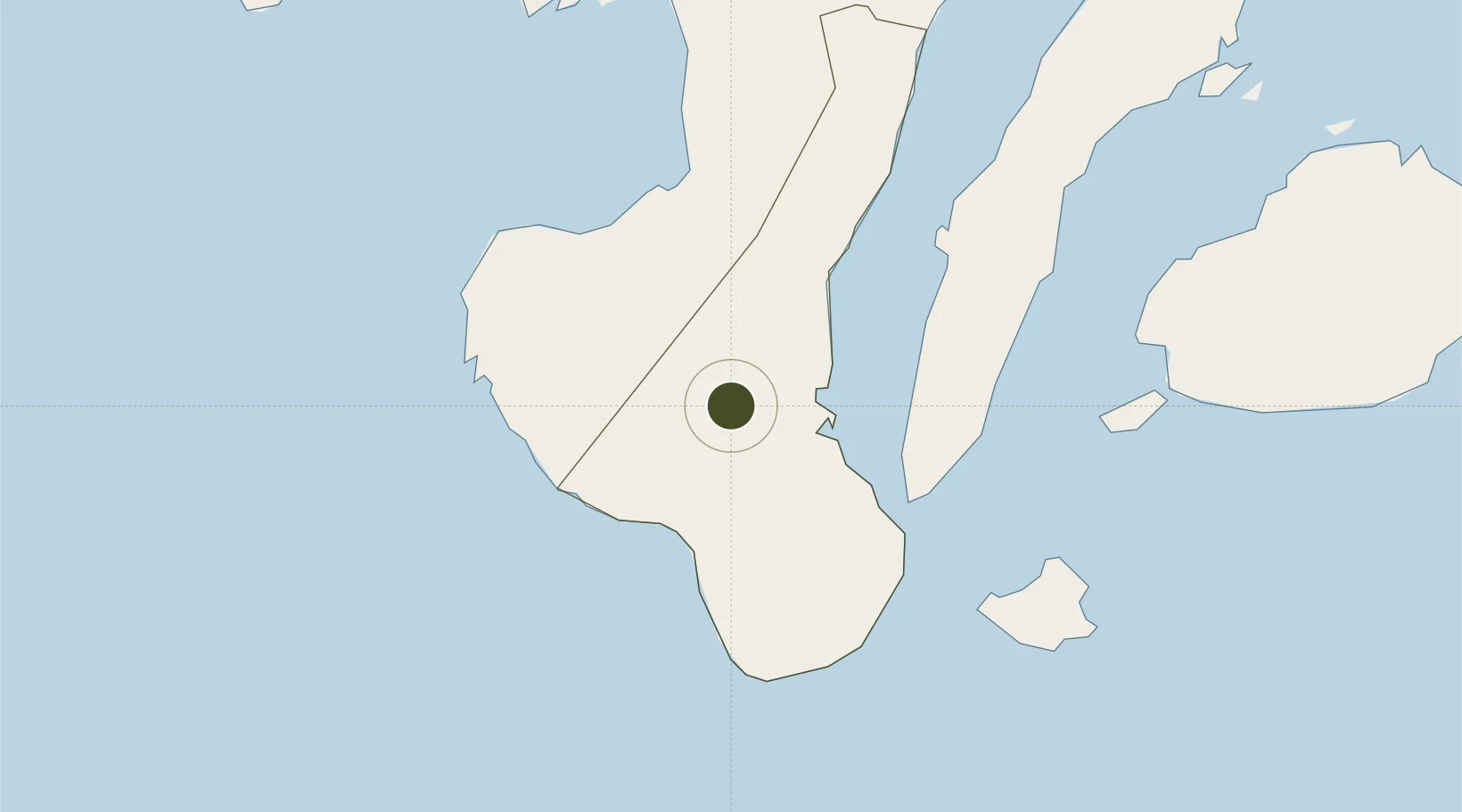
9.6092°, 122.9587°
104 ha
Zone area
17.3 km
Nearest port
48.5 km
Nearest airport

Gateway access

Nearest neighbours — logibook spatial index (haversine) over the source coordinates

Zone profile

Zone type
Specialized Zone
Open Zone Map
Specialization
Tourism
Open Zone Map
Region
Negros Oriental
Open Zone Map
Status
Under Development
Open Zone Map
Management
Private
Open Zone Map
Operator
Bais City Oriental Negros SEPZ, Inc.
Open Zone Map
Legal framework
Special Economic Zone Act (Republic Act No. 7916) (as amended by Republic Act No. 8748)
Open Zone Map

Location

Location of ozm-3948
Natural Earth 10m (public domain) · Negros Oriental · ozm-3948 · 9.61, 122.96GoogleOSMYandex

Nearby Logistics Neighbours

Ports
  1. 1Bais17 km
  2. 2Dumaguete50 km
  3. 3Lazi91 km
  4. 4Tagbilaran98 km
  5. 5Pulupandan102 km
Nearest neighbours — logibook spatial index (haversine) over the source coordinates
Airports
  1. 1Sibulan Airport49 km
  2. 2Bohol-Panglao International Airport89 km
  3. 3Dipolog Airport120 km
  4. 4Bacolod-Silay International Airport130 km
  5. 5Mactan Cebu International Airport136 km
Nearest neighbours — logibook spatial index (haversine) over the source coordinates
Cities
  1. 1Malatapay22 km
  2. 2Tandayag33 km
  3. 3Himamaylan, Negros54 km
  4. 4Bacong56 km
  5. 5Alcoy60 km
Nearest neighbours — logibook spatial index (haversine) over the source coordinates
Trade Zones
  1. 1SGI Technology Center25 km
  2. 2Valencia Special Economic Zone43 km
  3. 3LinkSy IT Park49 km
  4. 4Spanish Heritage IT Center50 km
  5. 5Marina Town Dumaguete50 km
Nearest neighbours — logibook spatial index (haversine) over the source coordinates
DatabookThe Record of Consolidated Knowledge
Philippines beyond logistics?
Browse databook

All Sources

Trade ZonesOpen Zone Map
CC BY
Portsthe NGA World Port Index
Public domain (US gov)
AirportsOurAirports
Public domain
LocationsUN/LOCODE
UN/LOCODE — free
← Philippines trade zones