Free Trade Zone · Philippines

Marina Town Dumaguete Active
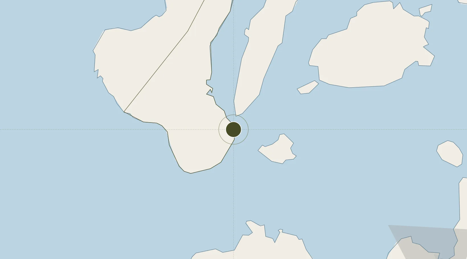
9.3219°, 123.3121°
0 ha
Zone area
1.4 km
Nearest port
1.8 km
Nearest airport

Gateway access

Nearest neighbours — logibook spatial index (haversine) over the source coordinates

Zone profile

Zone type
Free Trade Zone
Open Zone Map
Region
Negros Oriental
Open Zone Map
Status
Active
Open Zone Map
Management
Private
Open Zone Map
Operator
Filinvest Land, Inc.
Open Zone Map
Legal framework
Special Economic Zone Act (Republic Act No. 7916) (as amended by Republic Act No. 8748)
Open Zone Map

Location

Location of ozm-3283
Natural Earth 10m (public domain) · Negros Oriental · ozm-3283 · 9.32, 123.31GoogleOSMYandex

Nearby Logistics Neighbours

Ports
  1. 1Dumaguete1 km
  2. 2Bais38 km
  3. 3Lazi41 km
  4. 4Tagbilaran69 km
  5. 5Tubigan100 km
Nearest neighbours — logibook spatial index (haversine) over the source coordinates
Airports
  1. 1Sibulan Airport2 km
  2. 2Bohol-Panglao International Airport58 km
  3. 3Dipolog Airport80 km
  4. 4Mactan Cebu International Airport132 km
  5. 5Labo Airport140 km
Nearest neighbours — logibook spatial index (haversine) over the source coordinates
Cities
  1. 1Bacong10 km
  2. 2Tandayag18 km
  3. 3Larena31 km
  4. 4Malatapay31 km
  5. 5Lazi42 km
Nearest neighbours — logibook spatial index (haversine) over the source coordinates
Trade Zones
  1. 1LP IT Park2 km
  2. 2LinkSy IT Park2 km
  3. 3YY Star DAS Information Technology Center2 km
  4. 4DBPI IT Park3 km
  5. 5Spanish Heritage IT Center3 km
Nearest neighbours — logibook spatial index (haversine) over the source coordinates
DatabookThe Record of Consolidated Knowledge
Philippines beyond logistics?
Browse databook

All Sources

Trade ZonesOpen Zone Map
CC BY
Portsthe NGA World Port Index
Public domain (US gov)
AirportsOurAirports
Public domain
LocationsUN/LOCODE
UN/LOCODE — free
← Philippines trade zones