Transport Functions
Port
Road
Hub Profile
Place type
Populated place
Region
Western Visayas
Time zone
Asia/Manila
Elevation
5 m
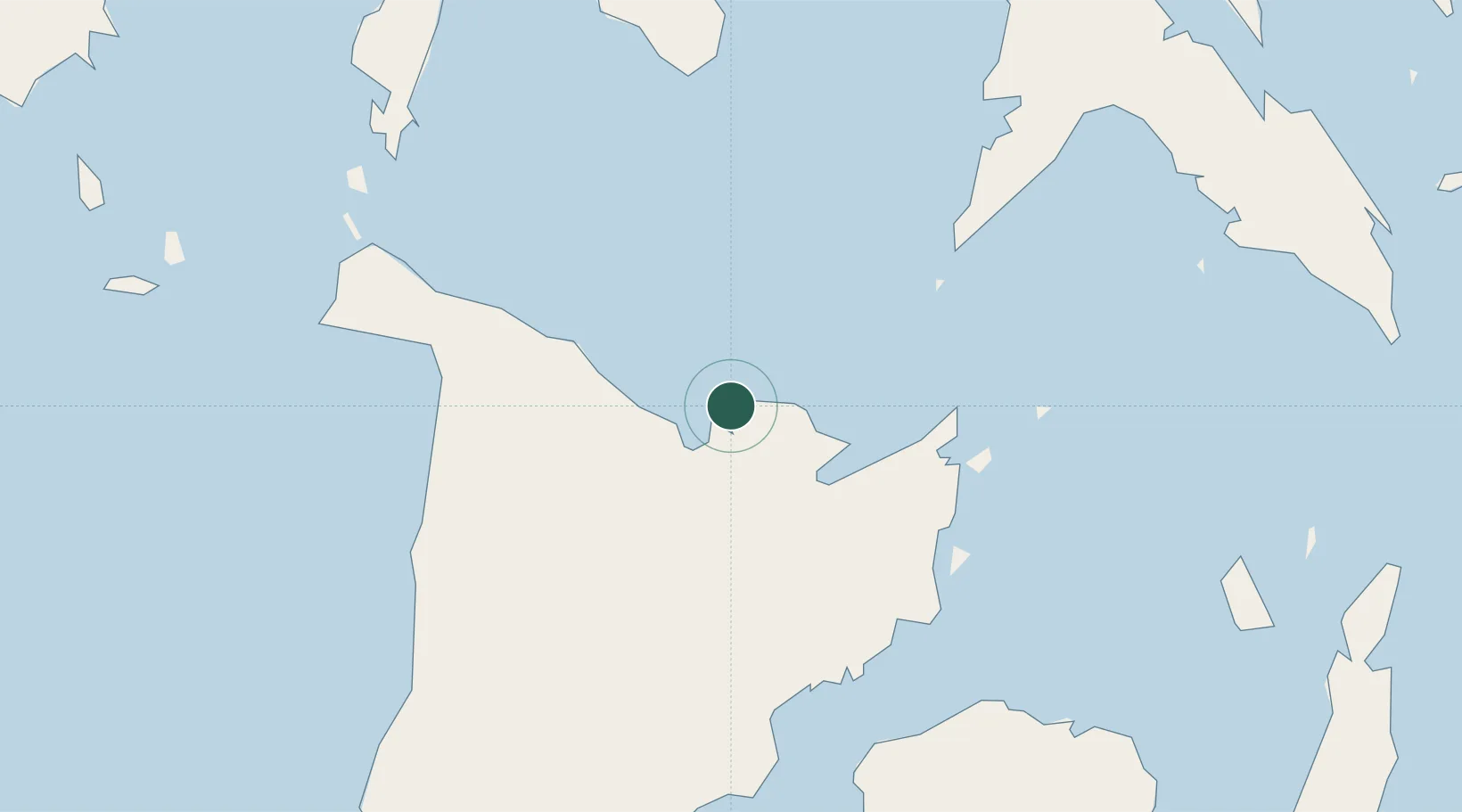
Location
Nearby Logistics Neighbours
Cities
- 1Ajuy60 km
- 2Cajidiocan, Visayan Isl85 km
- 3Boracay95 km
- 4Iloilo, Panay100 km
- 5Bacolod, Negros106 km
Ports
- 1Iloilo101 km
- 2Port Romblon119 km
- 3Pulupandan121 km
- 4Masbate131 km
- 5San Carlos147 km
Airports
Trade Zones
DatabookThe Record of Consolidated Knowledge
Philippines beyond logistics?