Transport Functions
Port
Hub Profile
Place type
District seat
Region
Western Visayas
Population
8,695
Time zone
Asia/Manila
Elevation
9 m
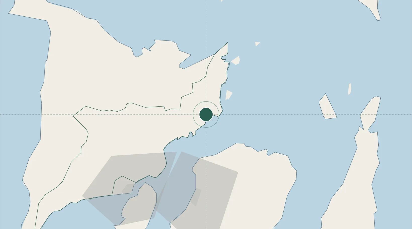
Location
Nearby Logistics Neighbours
Cities
- 1Bacolod, Negros55 km
- 2Culasi60 km
- 3Iloilo, Panay71 km
- 4La Carlota84 km
- 5Bogo106 km
Ports
- 1Port Capiz59 km
- 2Iloilo72 km
- 3Pulupandan77 km
- 4San Carlos87 km
- 5Toledo111 km
Airports
DatabookThe Record of Consolidated Knowledge
Philippines beyond logistics?