Specialized Zone · Philippines

Sicogon Island Tourism Estate Active
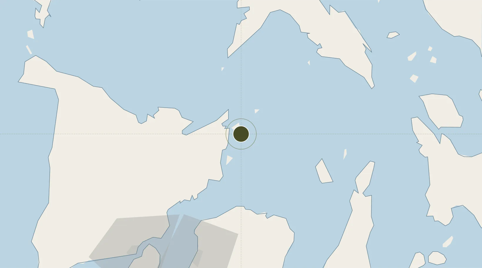
11.4450°, 123.2425°
809 ha
Zone area
59.8 km
Nearest port
56.1 km
Nearest airport

Gateway access

Nearest neighbours — logibook spatial index (haversine) over the source coordinates

Zone profile

Zone type
Specialized Zone
Open Zone Map
Specialization
Tourism
Open Zone Map
Status
Active
Open Zone Map
Management
Public-Private Partnership
Open Zone Map
Operator
Sicogon Island Tourism Estate Corp.
Open Zone Map
Legal framework
Special Economic Zone Act (Republic Act No. 7916) (as amended by Republic Act No. 8748)
Open Zone Map

Location

Location of ozm-3954
Natural Earth 10m (public domain) · ozm-3954 · 11.44, 123.24GoogleOSMYandex

Nearby Logistics Neighbours

Ports
  1. 1Port Capiz60 km
  2. 2San Carlos109 km
  3. 3Iloilo110 km
  4. 4Masbate110 km
  5. 5Pulupandan114 km
Nearest neighbours — logibook spatial index (haversine) over the source coordinates
Airports
  1. 1Roxas Airport56 km
  2. 2Bacolod-Silay International Airport78 km
  3. 3Kalibo International Airport98 km
  4. 4Iloilo International Airport106 km
  5. 5Moises R. Espinosa Airport111 km
Nearest neighbours — logibook spatial index (haversine) over the source coordinates
Cities
  1. 1Ajuy38 km
  2. 2Culasi62 km
  3. 3Bacolod, Negros91 km
  4. 4Bogo94 km
  5. 5Iloilo, Panay109 km
Nearest neighbours — logibook spatial index (haversine) over the source coordinates
Trade Zones
  1. 1Pueblo de Panay Technopark55 km
  2. 2Bamboo Technology & Development Park76 km
  3. 3Bacolod-Silay Economic Zone and Technopark78 km
  4. 4Ayala North Point TechnoHub86 km
  5. 5Barotac Nuevo Industry & Economic Park87 km
Nearest neighbours — logibook spatial index (haversine) over the source coordinates
DatabookThe Record of Consolidated Knowledge
Philippines beyond logistics?
Browse databook

All Sources

Trade ZonesOpen Zone Map
CC BY
Portsthe NGA World Port Index
Public domain (US gov)
AirportsOurAirports
Public domain
LocationsUN/LOCODE
UN/LOCODE — free
← Philippines trade zones