UN/LOCODE hub · Philippines
PHBCD
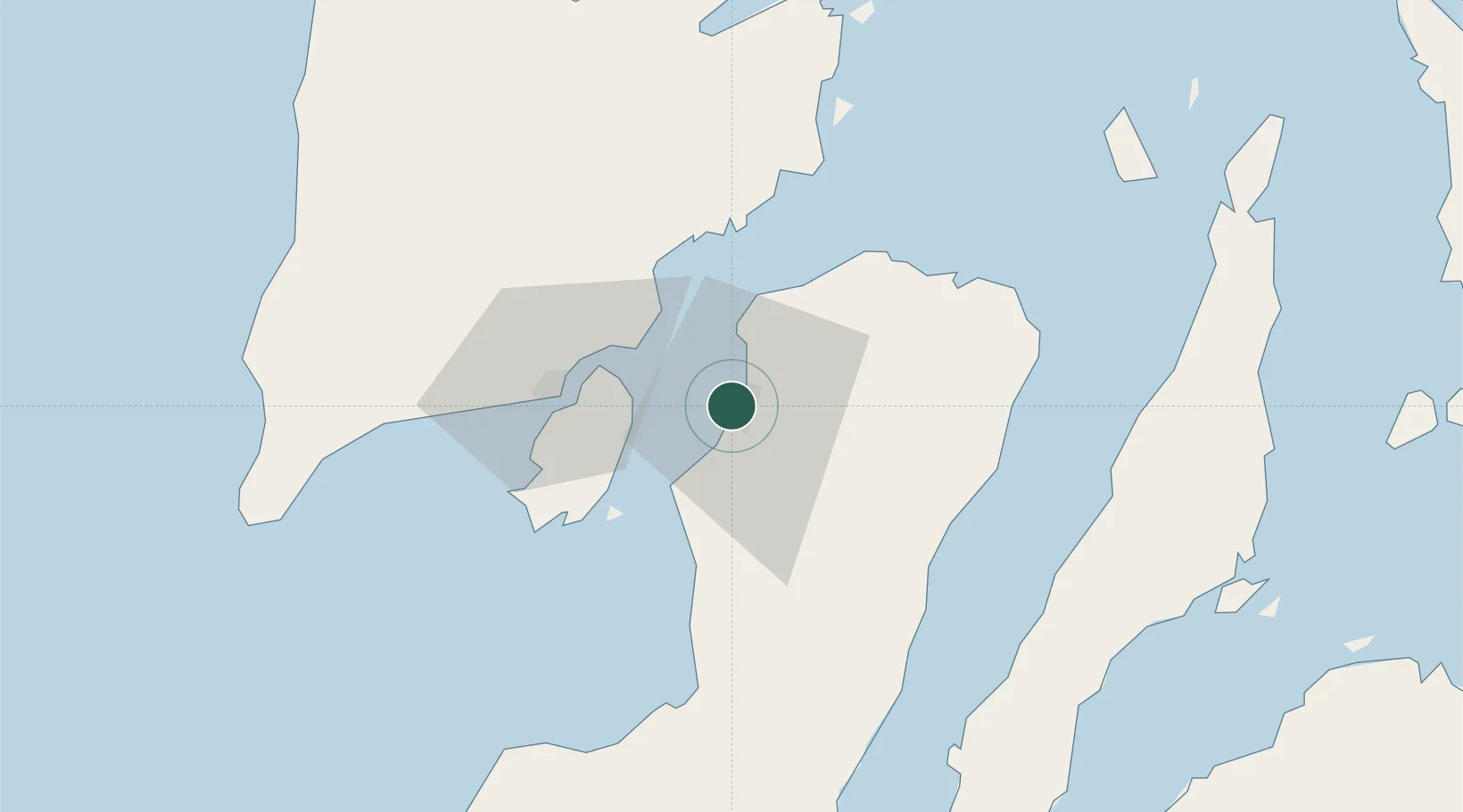
Bacolod, Negros
10.6786°, 122.9414°
2
Transport functions
1
Container terminals
Transport Functions
Port
Airport
Hub Profile
Logistics facilities
2
Container terminals
1
Location
Nearby Logistics Neighbours
Cities
- 1La Carlota29 km
- 2Iloilo, Panay39 km
- 3Ajuy55 km
- 4Himamaylan, Negros67 km
- 5Guihulngan73 km
Ports
- 1Pulupandan24 km
- 2Iloilo39 km
- 3San Carlos56 km
- 4Toledo83 km
- 5Port Capiz105 km
Airports
- 1Bacolod-Silay International Airport14 km
- 2Iloilo International Airport52 km
- 3Roxas Airport104 km
- 4Evelio Javier Airport111 km
- 5Mactan Cebu International Airport121 km
Trade Zones
DatabookThe Record of Consolidated Knowledge
Philippines beyond logistics?