UN/LOCODE hub · Philippines
PHILO
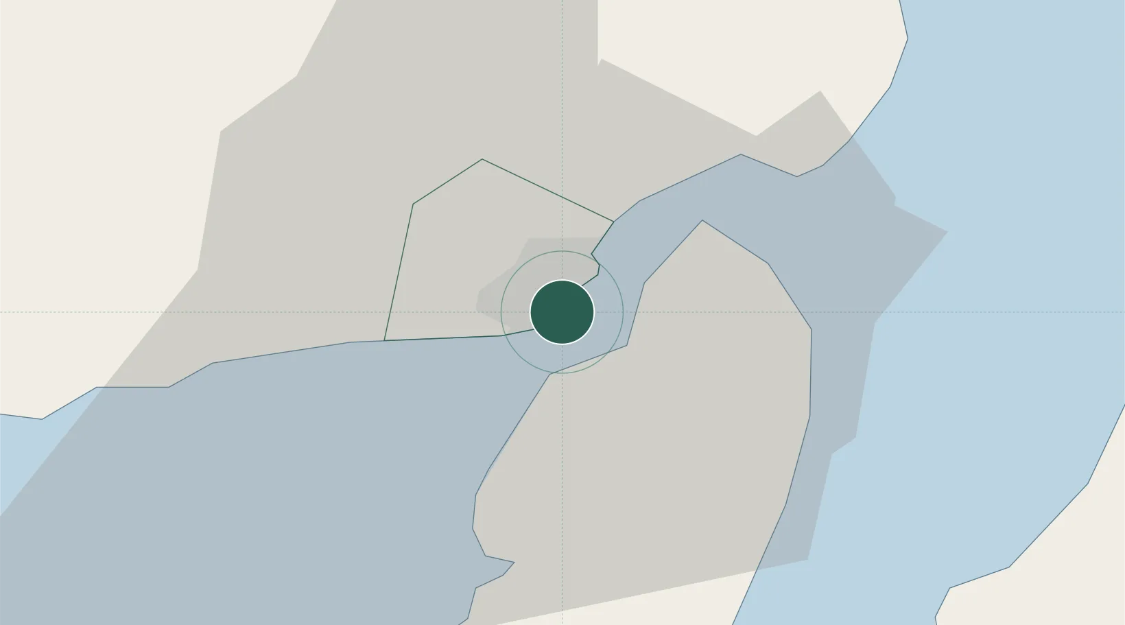
Iloilo, Panay
10.7047°, 122.5827°
2
Transport functions
1
Container terminals
Transport Functions
Port
Airport
Hub Profile
Logistics facilities
2
Container terminals
1
Location
Nearby Logistics Neighbours
Cities
- 1Bacolod, Negros39 km
- 2La Carlota49 km
- 3Hamtic67 km
- 4Ajuy71 km
- 5Himamaylan, Negros76 km
Ports
- 1Pulupandan32 km
- 2San Carlos94 km
- 3Port Capiz101 km
- 4Toledo121 km
- 5Bais136 km
Airports
- 1Iloilo International Airport17 km
- 2Bacolod-Silay International Airport48 km
- 3Evelio Javier Airport71 km
- 4Roxas Airport101 km
- 5Kalibo International Airport111 km
Trade Zones
DatabookThe Record of Consolidated Knowledge
Philippines beyond logistics?