Diversified Zone · Philippines

Legaspi City Special Economic Zone Under Development
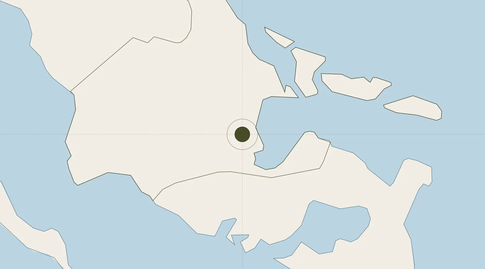
13.1383°, 123.7171°
33 ha
Zone area
3.8 km
Nearest port
5.3 km
Nearest airport

Gateway access

Nearest neighbours — logibook spatial index (haversine) over the source coordinates

Zone profile

Zone type
Diversified Zone
Open Zone Map
Region
Albay
Open Zone Map
Status
Under Development
Open Zone Map
Management
Public
Open Zone Map
Operator
City Government of Legaspi
Open Zone Map
Legal framework
Special Economic Zone Act (Republic Act No. 7916) (as amended by Republic Act No. 8748)
Open Zone Map

Location

Location of ozm-3129
Natural Earth 10m (public domain) · Albay · ozm-3129 · 13.14, 123.72GoogleOSMYandex

Nearby Logistics Neighbours

Ports
  1. 1Legazpi Port4 km
  2. 2Tabaco25 km
  3. 3Sorsogon36 km
  4. 4Virac76 km
  5. 5Masbate87 km
Nearest neighbours — logibook spatial index (haversine) over the source coordinates
Airports
  1. 1Bicol International Airport5 km
  2. 2Naga Airport69 km
  3. 3Virac Airport72 km
  4. 4Moises R. Espinosa Airport86 km
  5. 5Catarman National Airport122 km
Nearest neighbours — logibook spatial index (haversine) over the source coordinates
Cities
  1. 1Legaspi Apt, Luzon4 km
  2. 2Tabaco/Legaspi24 km
  3. 3Changtu59 km
  4. 4Naga, Luzon80 km
  5. 5Gigmoto, Catanduanes100 km
Nearest neighbours — logibook spatial index (haversine) over the source coordinates
Trade Zones
  1. 1Gernarine Information Technology Center3 km
  2. 2Embarcadero de Legazpi4 km
  3. 3Misibis Resorts and Estates24 km
  4. 4Peter Paul Industrial Ecozone - Sorsogon38 km
  5. 5Rapu-Rapu Ecozone53 km
Nearest neighbours — logibook spatial index (haversine) over the source coordinates
DatabookThe Record of Consolidated Knowledge
Philippines beyond logistics?
Browse databook

All Sources

Trade ZonesOpen Zone Map
CC BY
Portsthe NGA World Port Index
Public domain (US gov)
AirportsOurAirports
Public domain
LocationsUN/LOCODE
UN/LOCODE — free
← Philippines trade zones