Transport Functions
Port
Hub Profile
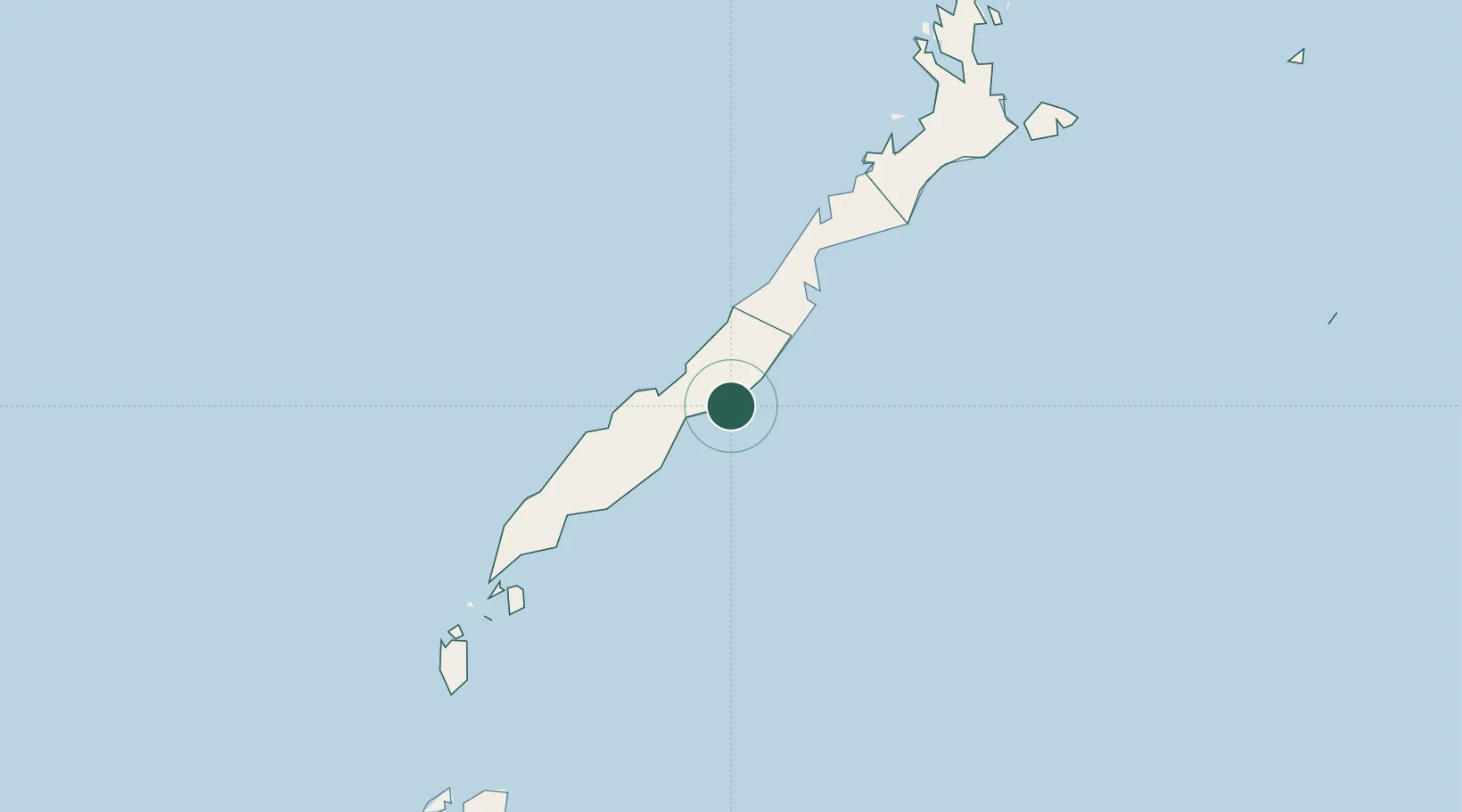
Place type
Populated place
Region
Mimaropa
Time zone
Asia/Manila
Elevation
12 m
Location
Nearby Logistics Neighbours
Cities
- 1Brookes Point, Palawan73 km
- 2Balabac, Palawan197 km
- 3Tindalo Oil Field218 km
- 4El Nido/Puerto Princesa250 km
- 5Jambongan, Sabah295 km
Ports
- 1Puerto Princesa74 km
- 2Kudat304 km
- 3Pelabuhan Sandakan373 km
- 4Kota Kinabalu436 km
- 5Jolo455 km
Airports
- 1Puerto Princesa International Airport / PAF Antonio Bautista Air Base77 km
- 2San Vicente Airport180 km
- 3El Nido Airport253 km
- 4Kudat Airport301 km
- 5Cuyo Airport351 km
Trade Zones
DatabookThe Record of Consolidated Knowledge
Philippines beyond logistics?