Small airport · Philippines

San Vicente AirportRPSV
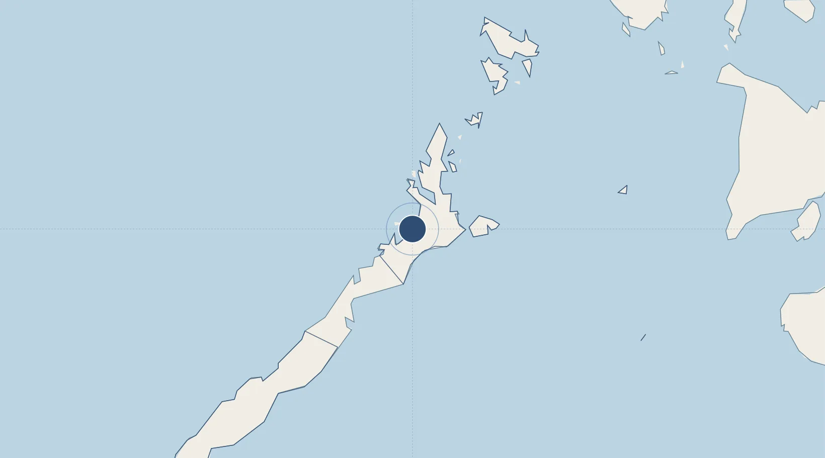
10.5243°, 119.2729°
5,915 ft
Longest runway
1
Runways
24 ft
Elevation

Runway & Layout

San Vicente Airport runway & taxiway layout
Runway & taxiway layout — OpenStreetMap (ODbL) / OurAirports

Runways · 1

RunwayDimensions SurfaceTrue headingLit
04/22 5,915 × —ft Concrete
OurAirports

Airport Specifications

IATA code
SWL
OurAirports
ICAO code
RPSV
OurAirports
Airport class
Small airport
OurAirports
Scheduled service
Yes
OurAirports
Runway surface
Concrete
OurAirports
Served city
San Vicente
OurAirports

Location

Location of RPSV
Natural Earth 10m (public domain) · Palawan · RPSV · 10.52, 119.27GoogleOSMYandex

Nearby Logistics Neighbours

Airports
  1. 1El Nido Airport77 km
  2. 2Puerto Princesa International Airport / PAF Antonio Bautista Air Base104 km
  3. 3Francisco B. Reyes (Busuanga) Airport199 km
  4. 4Cuyo Airport200 km
  5. 5San Jose Airport281 km
Nearest neighbours — logibook spatial index (haversine) over the source coordinates
Cities
  1. 1Tindalo Oil Field73 km
  2. 2El Nido/Puerto Princesa75 km
  3. 3Batonbaton180 km
  4. 4Brookes Point, Palawan251 km
  5. 5San Jose Apt, Mindoro283 km
Nearest neighbours — logibook spatial index (haversine) over the source coordinates
Ports
  1. 1Puerto Princesa106 km
  2. 2Iloilo362 km
  3. 3Calapan383 km
  4. 4Pulupandan386 km
  5. 5Port Capiz394 km
Nearest neighbours — logibook spatial index (haversine) over the source coordinates
Trade Zones
  1. 1Kaliksi Island Tourism Economic Zone25 km
  2. 2Green Tourism Ecozone - Apulit61 km
  3. 3Green Tourism Ecozone - Lagen64 km
  4. 4Green Tourism Ecozone - Pangulasian66 km
  5. 5Green Tourism Ecozone -Pangulasian66 km
Nearest neighbours — logibook spatial index (haversine) over the source coordinates
DatabookThe Record of Consolidated Knowledge
Philippines beyond logistics?
Browse databook

All Sources

AirportsOurAirports
Public domain
Portsthe NGA World Port Index
Public domain (US gov)
LocationsUN/LOCODE
UN/LOCODE — free
Trade Zonesthe World Bank SEZ database
CC BY 4.0
Trade ZonesOpen Zone Map
CC BY
InfrastructureOpenStreetMap
ODbL 1.0
← Philippines airports