UN/LOCODE hub · Bolivia
BORBQ
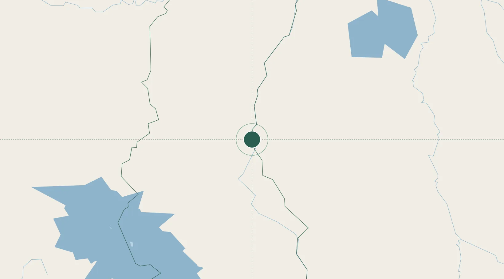
Rurrenabaque
-14.4667°, -67.5667°
11,749
Population
3
Transport functions
Transport Functions
Port
Road
Airport
Hub Profile
Place type
Populated place
Region
Beni Department
Population
11,749
Time zone
America/La_Paz
Elevation
210 m
Location
Nearby Logistics Neighbours
Cities
- 1La Asunta179 km
- 2Puerto Carabuco215 km
- 3Huatajata227 km
- 4Puerto Pérez231 km
- 5El Alto235 km
Ports
- 1Rada De Arica534 km
- 2Puerto Ilo537 km
- 3Bahia De Matarani563 km
- 4Iquique695 km
- 5Caleta Patillos751 km
Airports
DatabookThe Record of Consolidated Knowledge
Bolivia beyond logistics?