UN/LOCODE hub · Ecuador
ECPSJ
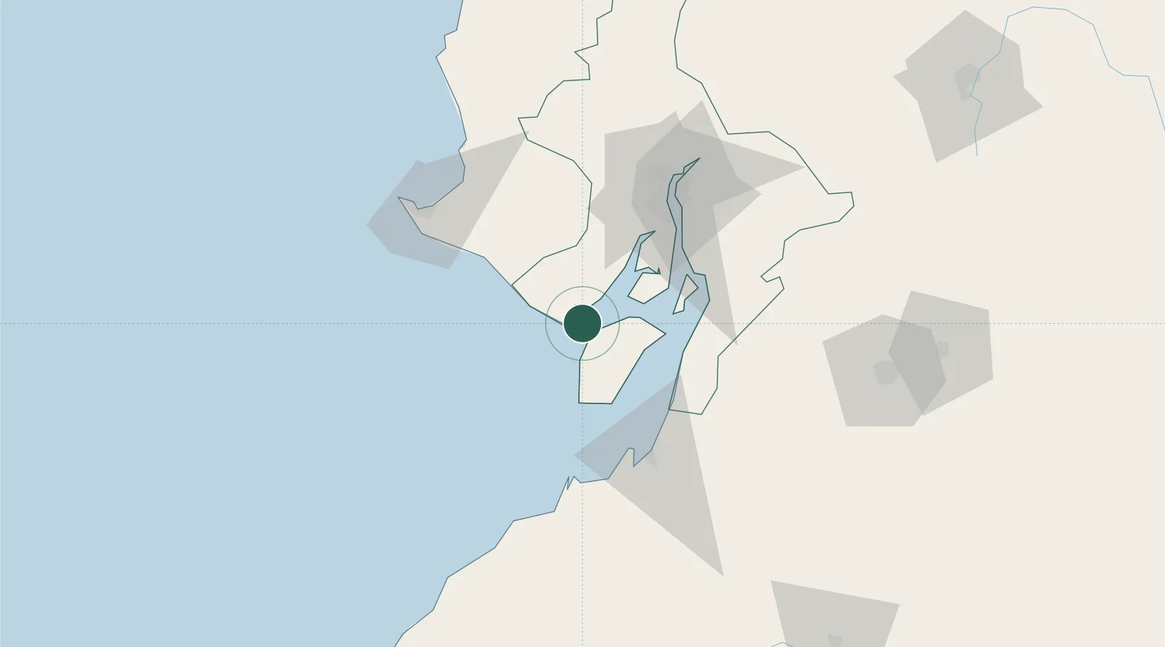
Posorja
-2.6894°, -80.2511°
30,886
Population
3
Transport functions
1
Container terminals
Transport Functions
Port
Road
Multimodal
Hub Profile
Place type
District seat
Region
Guayas
Population
30,886
Time zone
America/Guayaquil
Elevation
1 m
Logistics facilities
2
Container terminals
1
Location
Nearby Logistics Neighbours
Cities
- 1Playas16 km
- 2Puná38 km
- 3Zapotal52 km
- 4Puerto Balao Grande52 km
- 5Chongón55 km
Ports
- 1Puerto Maritimo De Guayaquil60 km
- 2Guayaquil68 km
- 3Puerto Bolivar70 km
- 4La Libertad91 km
- 5Manta200 km
Airports
Trade Zones
DatabookThe Record of Consolidated Knowledge
Ecuador beyond logistics?