Transport Functions
Port
Hub Profile
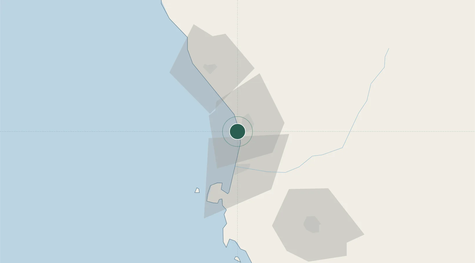
Place type
Populated place
Region
Ica
Time zone
America/Lima
Elevation
12 m
Location
Nearby Logistics Neighbours
Cities
- 1Chincha Baja4 km
- 2Chincha Alta7 km
- 3Pisco39 km
- 4Chanchamayo50 km
- 5Quinches130 km
Ports
- 1Conchan Oil Terminal169 km
- 2Puerto Del Callao188 km
- 3La Pampilla Oil Terminal198 km
- 4Bahia De Ancon219 km
- 5Bahia San Nicolas224 km
Airports
DatabookThe Record of Consolidated Knowledge
Peru beyond logistics?