Channel & Berth Profile
Pilotage, Tugs & Services
Pilotage compulsoryYES
Facilities & Capabilities
Container—
Ro-Ro—
Liquid bulk—
Dry bulk—
Oil terminal—
Break bulk—
Dry dock—
Repairs—
Bunkering—
Rail link—
Dangerous cargo—
ISPS security—
Harbour Specifications
Harbour size
Small
Harbour type
Coastal (Natural)
Water body
Persian Gulf; Indian Ocean
Tidal range
0.5 m
Pilotage
Yes
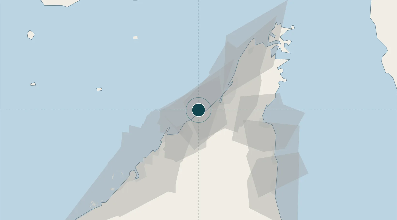
Location
Nearby Logistics Neighbours
Ports
- 1Umm Al Qaywayn25 km
- 2Hulaylah Oil Terminal33 km
- 3Mina Saqr40 km
- 4Al Hamriyah Lpg Terminal41 km
- 5Ajman48 km
Cities
- 1Rak Khor Port20 km
- 2Umm al Quwain25 km
- 3Ahmed Bin Rashid Port31 km
- 4Hulaylah Terminal33 km
- 5Rak Maritime City37 km
Airports
DatabookThe Record of Consolidated Knowledge
United Arab Emirates beyond logistics?