Transport Functions
Port
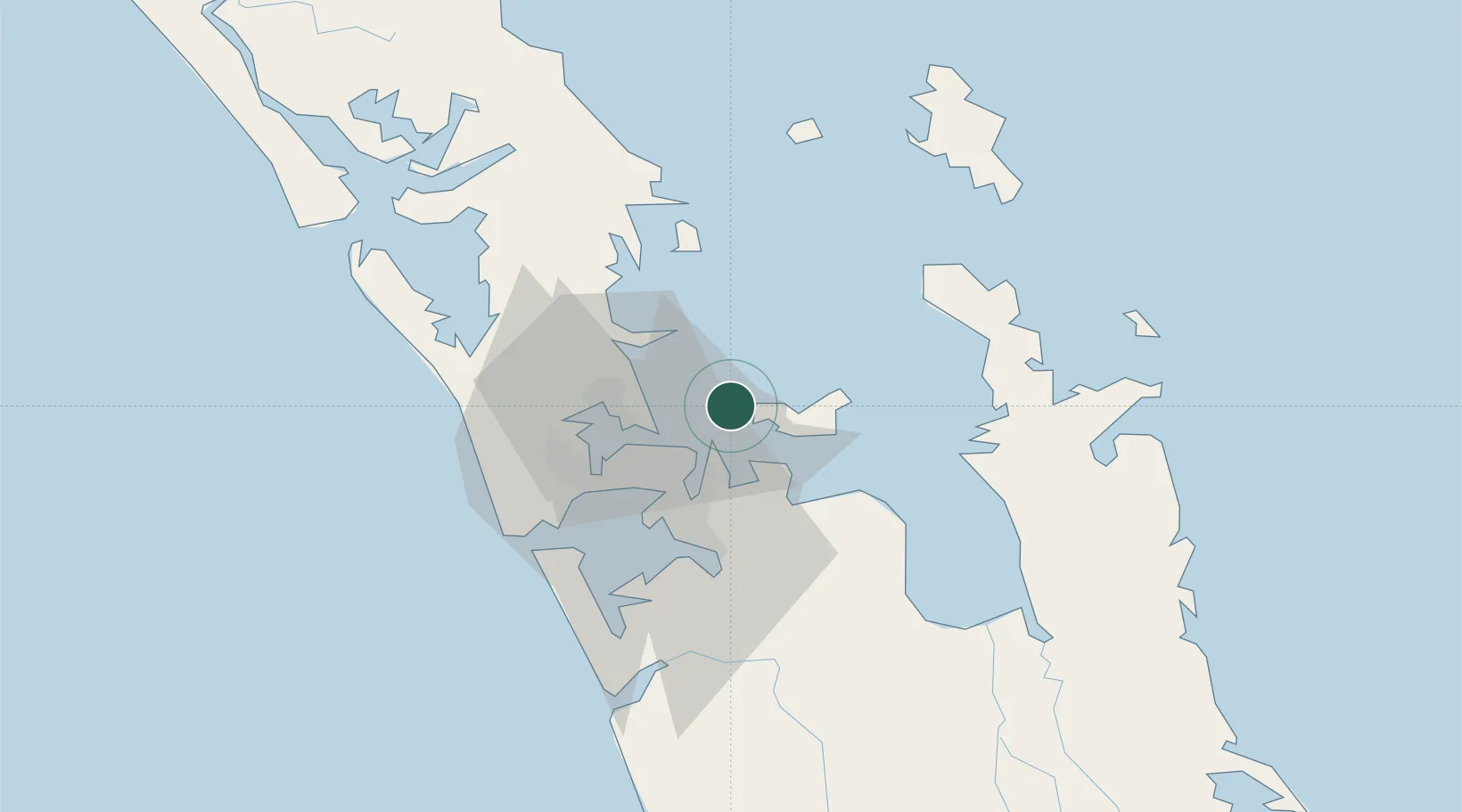
Hub Profile
Region
AUK
Location
Nearby Logistics Neighbours
Cities
- 1Waiheke Island12 km
- 2Tamaki14 km
- 3Takapuna18 km
- 4Devonport18 km
- 5Northcote21 km
Ports
- 1Auckland20 km
- 2Manukau Harbor25 km
- 3Whangarei118 km
- 4Tauranga144 km
- 5Opua178 km
Airports
- 1Ardmore Airport29 km
- 2RNZAF Base Auckland-Whenuapai30 km
- 3Auckland International Airport32 km
- 4Great Barrier Aerodrome74 km
- 5Okiwi Station Airport80 km
Trade Zones
- 1Hicks Bay Area Special Economic Zone296 km
- 2Rotuma-Kadavu Tax-Free Region2098 km
- 3Kalabu Tax Free Zone2105 km
- 4Nausori-Ba Tax-Free Region2113 km
- 5Lautoka Special Zone2143 km
DatabookThe Record of Consolidated Knowledge
New Zealand beyond logistics?