Transport Functions
Port
Hub Profile
Place type
Urban district
Region
Auckland
Population
5,160
Time zone
Pacific/Auckland
Elevation
28 m
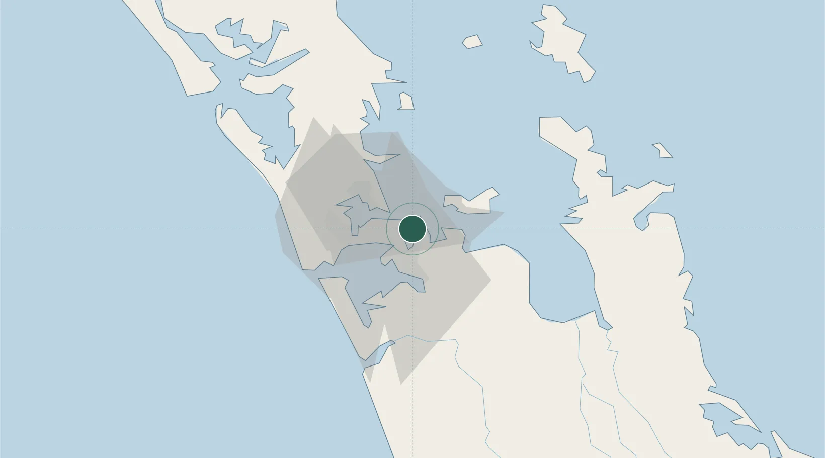
Location
Nearby Logistics Neighbours
Cities
- 1Metroport/Auckland8 km
- 2Auckland9 km
- 3Devonport12 km
- 4Matiatia Bay14 km
- 5Takapuna16 km
Ports
- 1Manukau Harbor12 km
- 2Auckland12 km
- 3Whangarei128 km
- 4Tauranga140 km
- 5Opua188 km
Airports
- 1Auckland International Airport18 km
- 2Ardmore Airport18 km
- 3RNZAF Base Auckland-Whenuapai26 km
- 4Great Barrier Aerodrome88 km
- 5Okiwi Station Airport94 km
Trade Zones
- 1Hicks Bay Area Special Economic Zone297 km
- 2Rotuma-Kadavu Tax-Free Region2112 km
- 3Kalabu Tax Free Zone2119 km
- 4Nausori-Ba Tax-Free Region2127 km
- 5Lautoka Special Zone2156 km
DatabookThe Record of Consolidated Knowledge
New Zealand beyond logistics?