Transport Functions
Port
Road
Multimodal
Hub Profile
Region
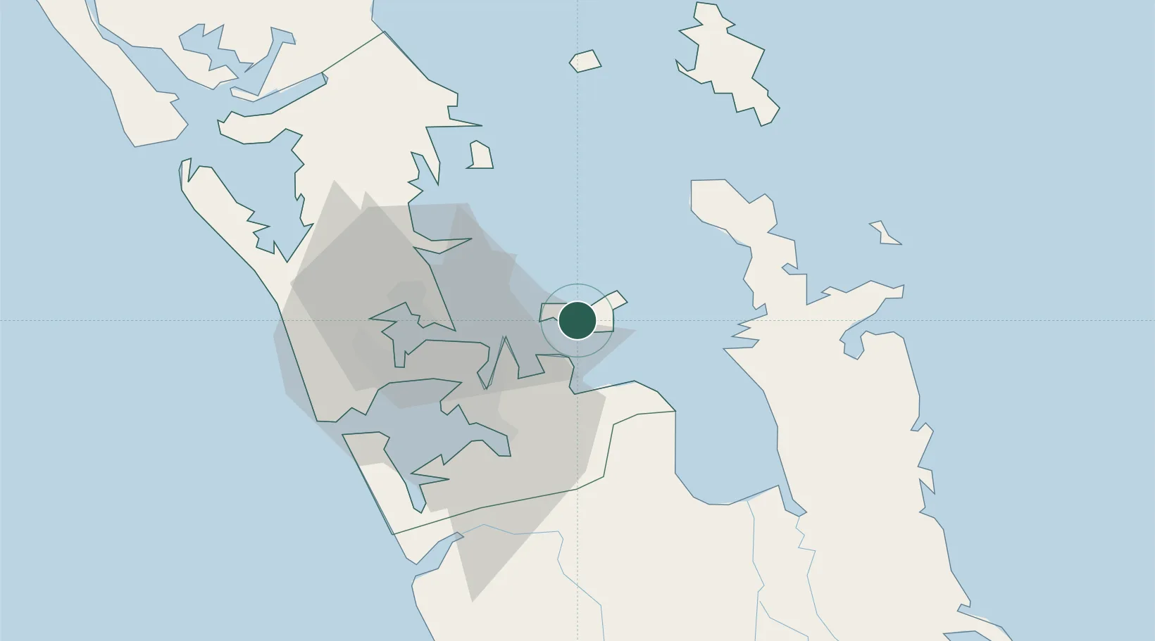
AUK
Location
Nearby Logistics Neighbours
Cities
- 1Matiatia Bay12 km
- 2Tamaki20 km
- 3Metroport/Auckland28 km
- 4Devonport28 km
- 5Auckland28 km
Ports
- 1Auckland30 km
- 2Manukau Harbor32 km
- 3Whangarei126 km
- 4Tauranga132 km
- 5Opua187 km
Airports
- 1Ardmore Airport28 km
- 2Auckland International Airport37 km
- 3RNZAF Base Auckland-Whenuapai42 km
- 4Great Barrier Aerodrome70 km
- 5Okiwi Station Airport78 km
Trade Zones
- 1Hicks Bay Area Special Economic Zone283 km
- 2Rotuma-Kadavu Tax-Free Region2100 km
- 3Kalabu Tax Free Zone2107 km
- 4Nausori-Ba Tax-Free Region2114 km
- 5Lautoka Special Zone2145 km
DatabookThe Record of Consolidated Knowledge
New Zealand beyond logistics?