UN/LOCODE hub · Norway
NOVSM

Vikan - Smøla

63.3833°, 8.2000°
2
Transport functions

Transport Functions

Port
Road
UN/LOCODE

Hub Profile

Region
15
GeoNames

Location

Location of NOVSM
Natural Earth 10m (public domain) · 15 · NOVSM · 63.38, 8.20GoogleOSMYandex

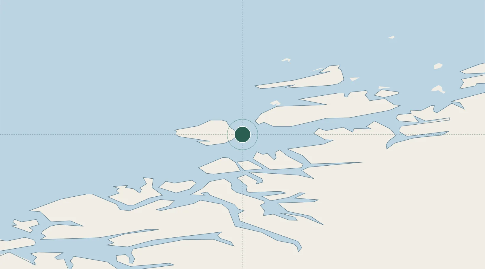
Nearby Logistics Neighbours

Cities
  1. 1Smøla12 km
  2. 2Aure20 km
  3. 3Grip35 km
  4. 4Halsa37 km
  5. 5Kristiansund39 km
Nearest neighbours — logibook spatial index (haversine) over the source coordinates
Ports
  1. 1Kristiansund38 km
  2. 2Sunndalsora80 km
  3. 3Haroysund83 km
  4. 4Molde89 km
  5. 5Andalsnes94 km
Nearest neighbours — logibook spatial index (haversine) over the source coordinates
Airports
  1. 1Kristiansund Airport, Kvernberget36 km
  2. 2Ørland Airport78 km
  3. 3Molde Airport, Årø85 km
  4. 4Trondheim Airport, Værnes136 km
  5. 5Ålesund Airport140 km
Nearest neighbours — logibook spatial index (haversine) over the source coordinates
Trade Zones
  1. 1Gothenburg Boundless Customs Warehouse661 km
  2. 2Stockholm Free Zone692 km
  3. 3Jönköping Free Zone702 km
  4. 4Freeport of Copenhagen- Nordhavn888 km
  5. 5MTS Malmö Transport and Spedition907 km
Nearest neighbours — logibook spatial index (haversine) over the source coordinates
DatabookThe Record of Consolidated Knowledge
Norway beyond logistics?
Browse databook

All Sources

LocationsUN/LOCODE
UN/LOCODE — free
Portsthe NGA World Port Index
Public domain (US gov)
AirportsOurAirports
Public domain
Trade Zonesthe World Bank SEZ database
CC BY 4.0
Trade ZonesOpen Zone Map
CC BY
← Norway locations