UN/LOCODE hub · Norway
NOSMO

Smøla

63.4500°, 8.0000°
1
Transport functions

Transport Functions

Port
UN/LOCODE

Hub Profile

Region
15
GeoNames

Location

Location of NOSMO
Natural Earth 10m (public domain) · 15 · NOSMO · 63.45, 8.00GoogleOSMYandex

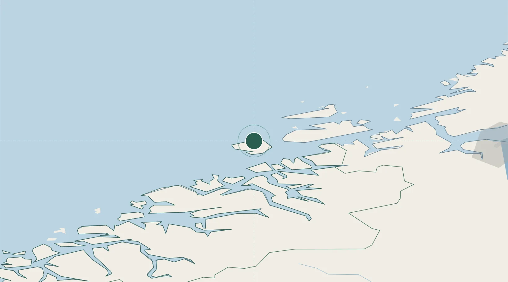
Nearby Logistics Neighbours

Cities
  1. 1Vikan - Smøla12 km
  2. 2Grip33 km
  3. 3Aure33 km
  4. 4Nordskaget - Frøya41 km
  5. 5Kristiansund41 km
Nearest neighbours — logibook spatial index (haversine) over the source coordinates
Ports
  1. 1Kristiansund40 km
  2. 2Haroysund81 km
  3. 3Sunndalsora90 km
  4. 4Molde90 km
  5. 5Andalsnes99 km
Nearest neighbours — logibook spatial index (haversine) over the source coordinates
Airports
  1. 1Kristiansund Airport, Kvernberget39 km
  2. 2Ørland Airport84 km
  3. 3Molde Airport, Årø87 km
  4. 4Ålesund Airport137 km
  5. 5Trondheim Airport, Værnes145 km
Nearest neighbours — logibook spatial index (haversine) over the source coordinates
Trade Zones
  1. 1Gothenburg Boundless Customs Warehouse672 km
  2. 2Stockholm Free Zone704 km
  3. 3Jönköping Free Zone713 km
  4. 4Freeport of Copenhagen- Nordhavn898 km
  5. 5MTS Malmö Transport and Spedition918 km
Nearest neighbours — logibook spatial index (haversine) over the source coordinates
DatabookThe Record of Consolidated Knowledge
Norway beyond logistics?
Browse databook

All Sources

LocationsUN/LOCODE
UN/LOCODE — free
Portsthe NGA World Port Index
Public domain (US gov)
AirportsOurAirports
Public domain
Trade Zonesthe World Bank SEZ database
CC BY 4.0
Trade ZonesOpen Zone Map
CC BY
← Norway locations