Transport Functions
Port
Hub Profile
Place type
Populated place
Region
Trøndelag
Time zone
Europe/Oslo
Elevation
33 m
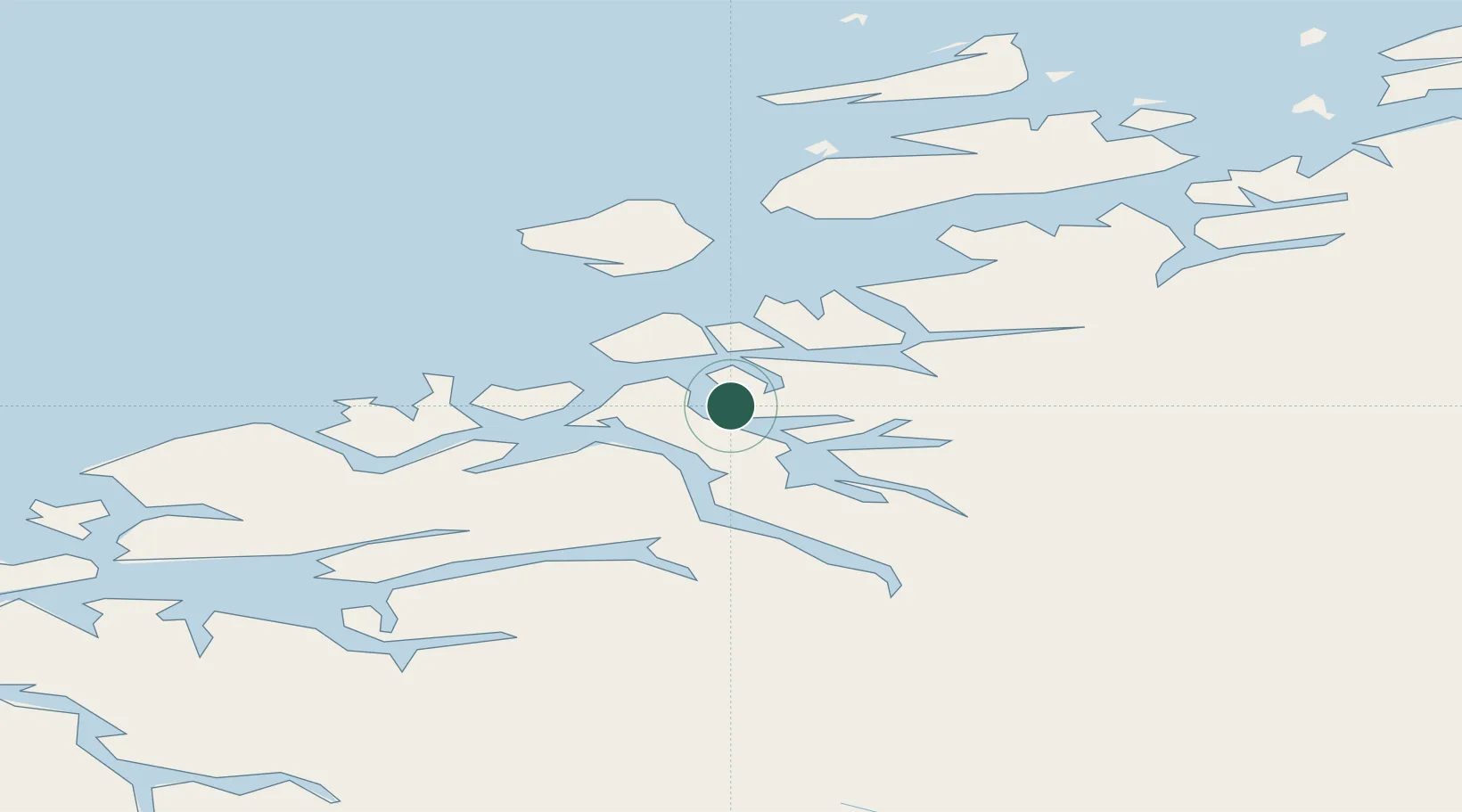
Location
Nearby Logistics Neighbours
Cities
- 1Torjulvågen8 km
- 2Surnadal22 km
- 3Raudsand25 km
- 4Kristiansund25 km
- 5Gjemnes26 km
Ports
- 1Kristiansund25 km
- 2Sunndalsora44 km
- 3Andalsnes60 km
- 4Molde64 km
- 5Haroysund66 km
Airports
- 1Kristiansund Airport, Kvernberget21 km
- 2Molde Airport, Årø59 km
- 3Ørland Airport100 km
- 4Ålesund Airport120 km
- 5Trondheim Airport, Værnes143 km
Trade Zones
DatabookThe Record of Consolidated Knowledge
Norway beyond logistics?