Transport Functions
Port
Hub Profile
Place type
Populated place
Region
Møre og Romsdal
Time zone
Europe/Oslo
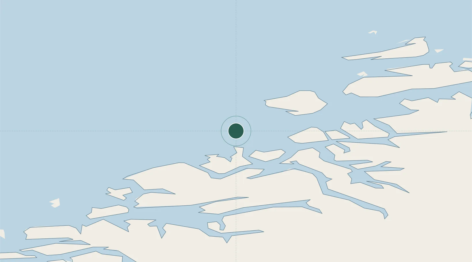
Location
Nearby Logistics Neighbours
Cities
- 1Kristiansund15 km
- 2Averøy19 km
- 3Gjemnes28 km
- 4Ramsvika31 km
- 5Visnes - Eide31 km
Ports
- 1Kristiansund13 km
- 2Haroysund49 km
- 3Molde58 km
- 4Andalsnes72 km
- 5Sunndalsora76 km
Airports
- 1Kristiansund Airport, Kvernberget16 km
- 2Molde Airport, Årø55 km
- 3Ålesund Airport105 km
- 4Ørland Airport113 km
- 5Ørsta-Volda Airport, Hovden139 km
Trade Zones
- 1Gothenburg Boundless Customs Warehouse655 km
- 2Jönköping Free Zone702 km
- 3Freeport of Copenhagen- Nordhavn880 km
- 4MTS Malmö Transport and Spedition901 km
- 5Freeport of Kiel999 km
DatabookThe Record of Consolidated Knowledge
Norway beyond logistics?