Transport Functions
Port
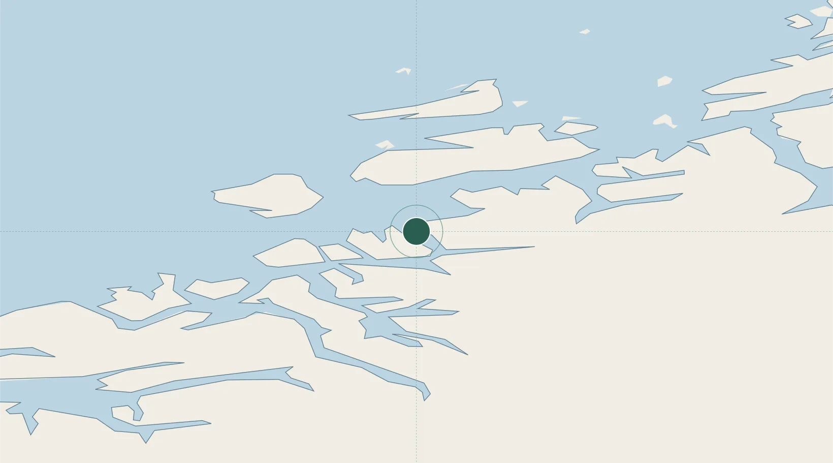
Hub Profile
Place type
Provincial seat
Region
Møre og Romsdal
Population
3,384
Time zone
Europe/Oslo
Elevation
60 m
Location
Nearby Logistics Neighbours
Cities
- 1Vikan - Smøla20 km
- 2Vinjeøra25 km
- 3Kyrksæterøra28 km
- 4Halsa28 km
- 5Surnadal32 km
Ports
- 1Kristiansund43 km
- 2Sunndalsora65 km
- 3Andalsnes89 km
- 4Haroysund89 km
- 5Molde90 km
Airports
- 1Kristiansund Airport, Kvernberget39 km
- 2Ørland Airport72 km
- 3Molde Airport, Årø86 km
- 4Trondheim Airport, Værnes122 km
- 5Ålesund Airport145 km
Trade Zones
DatabookThe Record of Consolidated Knowledge
Norway beyond logistics?