Transport Functions
Port
Road
Airport
Hub Profile
Place type
Provincial seat
Region
Møre og Romsdal
Population
24,013
Time zone
Europe/Oslo
Elevation
1 m
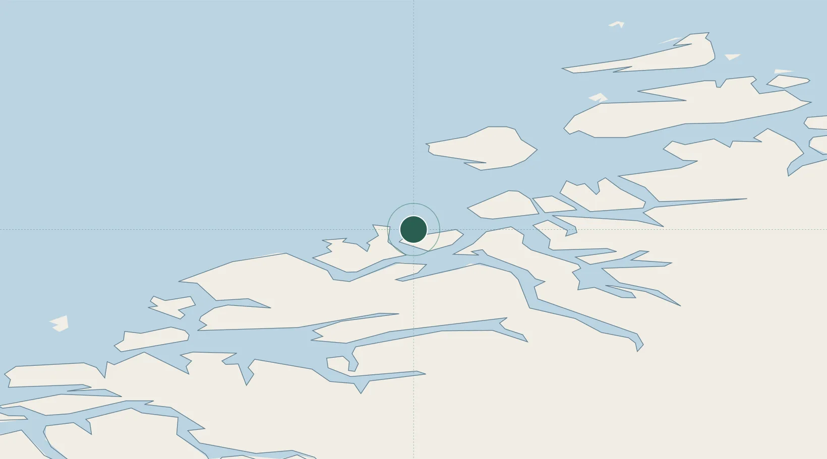
Location
Nearby Logistics Neighbours
Cities
- 1Averøy7 km
- 2Gjemnes15 km
- 3Grip15 km
- 4Ramsvika24 km
- 5Visnes - Eide24 km
Ports
- 1Haroysund46 km
- 2Molde50 km
- 3Andalsnes59 km
- 4Sunndalsora62 km
- 5Alesund106 km
Airports
- 1Kristiansund Airport, Kvernberget5 km
- 2Molde Airport, Årø46 km
- 3Ålesund Airport102 km
- 4Ørland Airport115 km
- 5Ørsta-Volda Airport, Hovden133 km
Trade Zones
- 1Gothenburg Boundless Customs Warehouse640 km
- 2Jönköping Free Zone687 km
- 3Freeport of Copenhagen- Nordhavn866 km
- 4MTS Malmö Transport and Spedition886 km
- 5Freeport of Kiel985 km
DatabookThe Record of Consolidated Knowledge
Norway beyond logistics?