UN/LOCODE hub · Norway
NOVNJ

Vinjeøra

63.2000°, 8.9833°
1
Transport functions

Transport Functions

Port
UN/LOCODE

Hub Profile

Region
16
GeoNames

Location

Location of NOVNJ
Natural Earth 10m (public domain) · 16 · NOVNJ · 63.20, 8.98GoogleOSMYandex

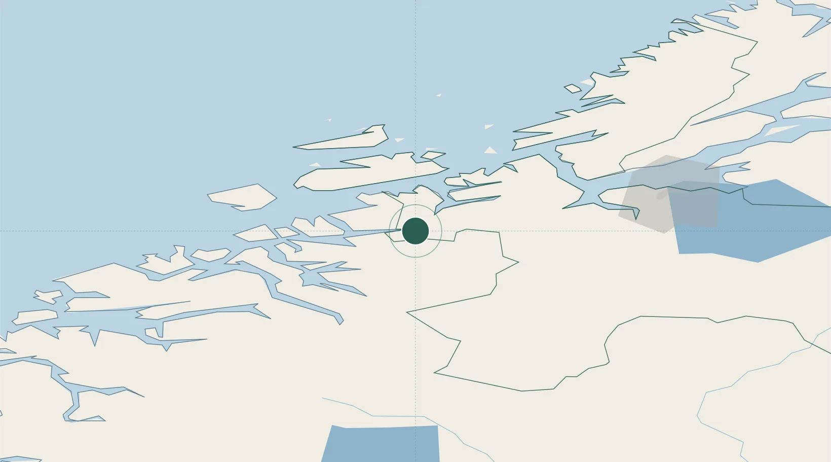
Nearby Logistics Neighbours

Cities
  1. 1Kyrksæterøra11 km
  2. 2Holla15 km
  3. 3Aure25 km
  4. 4Tjeldbergodden30 km
  5. 5Surnadal30 km
Nearest neighbours — logibook spatial index (haversine) over the source coordinates
Ports
  1. 1Sunndalsora62 km
  2. 2Kristiansund63 km
  3. 3Trondheim76 km
  4. 4Hommelvik94 km
  5. 5Andalsnes97 km
Nearest neighbours — logibook spatial index (haversine) over the source coordinates
Airports
  1. 1Kristiansund Airport, Kvernberget59 km
  2. 2Ørland Airport64 km
  3. 3Molde Airport, Årø101 km
  4. 4Trondheim Airport, Værnes101 km
  5. 5Røros Airport138 km
Nearest neighbours — logibook spatial index (haversine) over the source coordinates
Trade Zones
  1. 1Gothenburg Boundless Customs Warehouse630 km
  2. 2Stockholm Free Zone648 km
  3. 3Jönköping Free Zone665 km
  4. 4Freeport of Copenhagen- Nordhavn857 km
  5. 5MTS Malmö Transport and Spedition876 km
Nearest neighbours — logibook spatial index (haversine) over the source coordinates
DatabookThe Record of Consolidated Knowledge
Norway beyond logistics?
Browse databook

All Sources

LocationsUN/LOCODE
UN/LOCODE — free
Portsthe NGA World Port Index
Public domain (US gov)
AirportsOurAirports
Public domain
Trade Zonesthe World Bank SEZ database
CC BY 4.0
Trade ZonesOpen Zone Map
CC BY
← Norway locations