Transport Functions
Port
Hub Profile
Place type
Populated place
Region
Trøndelag
Time zone
Europe/Oslo
Elevation
3 m
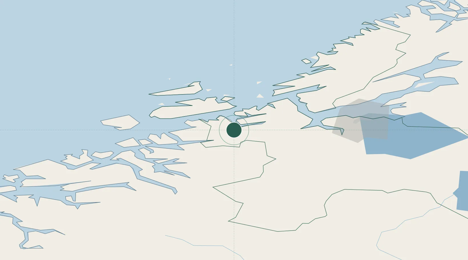
Location
Nearby Logistics Neighbours
Cities
- 1Kyrksæterøra5 km
- 2Vinjeøra15 km
- 3Tjeldbergodden18 km
- 4Hestvika28 km
- 5Aure32 km
Ports
- 1Trondheim64 km
- 2Kristiansund74 km
- 3Sunndalsora77 km
- 4Hommelvik83 km
- 5Muruvik85 km
Airports
- 1Ørland Airport48 km
- 2Kristiansund Airport, Kvernberget70 km
- 3Trondheim Airport, Værnes90 km
- 4Molde Airport, Årø115 km
- 5Røros Airport138 km
Trade Zones
DatabookThe Record of Consolidated Knowledge
Norway beyond logistics?