UN/LOCODE hub · Norway
NOTBO

Tjeldbergodden

63.4667°, 9.0000°
1
Transport functions

Transport Functions

Port
UN/LOCODE

Hub Profile

Region
15
GeoNames

Location

Location of NOTBO
Natural Earth 10m (public domain) · 15 · NOTBO · 63.47, 9.00GoogleOSMYandex

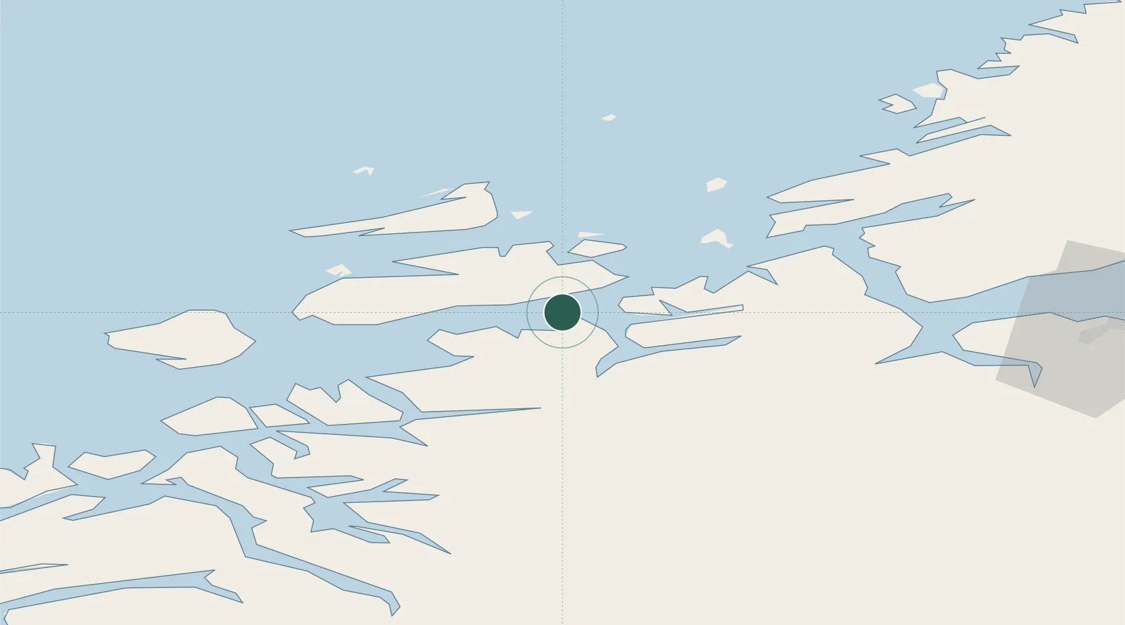
Nearby Logistics Neighbours

Cities
  1. 1Hestvika15 km
  2. 2Holla18 km
  3. 3Ansnes19 km
  4. 4Kyrksæterøra21 km
  5. 5Dolmøy23 km
Nearest neighbours — logibook spatial index (haversine) over the source coordinates
Ports
  1. 1Trondheim70 km
  2. 2Kristiansund74 km
  3. 3Hommelvik90 km
  4. 4Sunndalsora90 km
  5. 5Muruvik92 km
Nearest neighbours — logibook spatial index (haversine) over the source coordinates
Airports
  1. 1Ørland Airport40 km
  2. 2Kristiansund Airport, Kvernberget71 km
  3. 3Trondheim Airport, Værnes96 km
  4. 4Molde Airport, Årø119 km
  5. 5Røros Airport154 km
Nearest neighbours — logibook spatial index (haversine) over the source coordinates
Trade Zones
  1. 1Gothenburg Boundless Customs Warehouse659 km
  2. 2Stockholm Free Zone666 km
  3. 3Jönköping Free Zone692 km
  4. 4Freeport of Copenhagen- Nordhavn885 km
  5. 5MTS Malmö Transport and Spedition904 km
Nearest neighbours — logibook spatial index (haversine) over the source coordinates
DatabookThe Record of Consolidated Knowledge
Norway beyond logistics?
Browse databook

All Sources

LocationsUN/LOCODE
UN/LOCODE — free
Portsthe NGA World Port Index
Public domain (US gov)
AirportsOurAirports
Public domain
Trade Zonesthe World Bank SEZ database
CC BY 4.0
Trade ZonesOpen Zone Map
CC BY
← Norway locations