UN/LOCODE hub · Norway
NOKYR

Kyrksæterøra

63.2833°, 9.0833°
2
Transport functions

Transport Functions

Port
Road
UN/LOCODE

Hub Profile

Region
16
GeoNames

Location

Location of NOKYR
Natural Earth 10m (public domain) · 16 · NOKYR · 63.28, 9.08GoogleOSMYandex

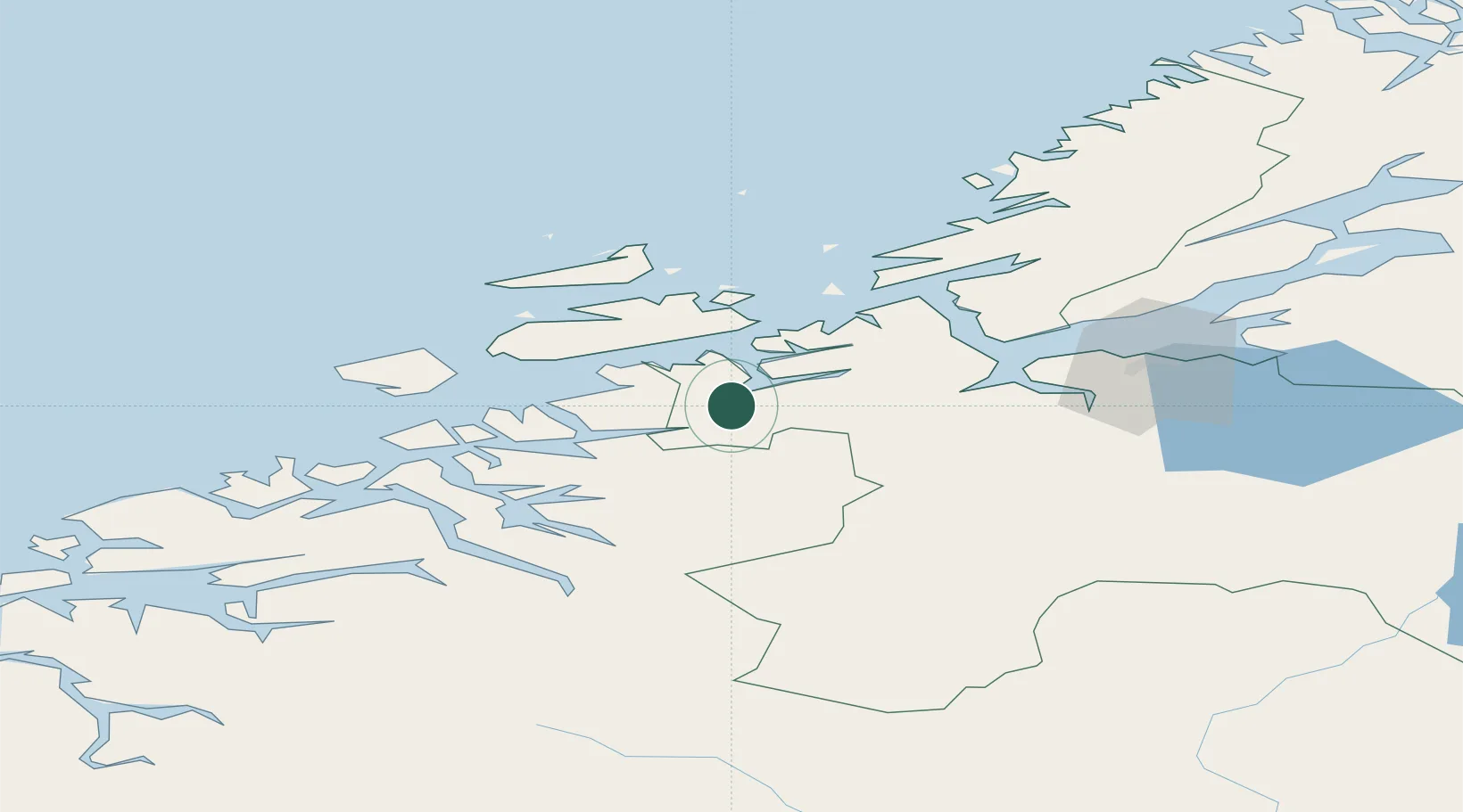
Nearby Logistics Neighbours

Cities
  1. 1Holla5 km
  2. 2Vinjeøra11 km
  3. 3Tjeldbergodden21 km
  4. 4Aure28 km
  5. 5Hestvika32 km
Nearest neighbours — logibook spatial index (haversine) over the source coordinates
Ports
  1. 1Trondheim68 km
  2. 2Kristiansund70 km
  3. 3Sunndalsora72 km
  4. 4Hommelvik87 km
  5. 5Muruvik89 km
Nearest neighbours — logibook spatial index (haversine) over the source coordinates
Airports
  1. 1Ørland Airport53 km
  2. 2Kristiansund Airport, Kvernberget66 km
  3. 3Trondheim Airport, Værnes94 km
  4. 4Molde Airport, Årø110 km
  5. 5Røros Airport139 km
Nearest neighbours — logibook spatial index (haversine) over the source coordinates
Trade Zones
  1. 1Gothenburg Boundless Customs Warehouse638 km
  2. 2Stockholm Free Zone650 km
  3. 3Jönköping Free Zone671 km
  4. 4Freeport of Copenhagen- Nordhavn864 km
  5. 5MTS Malmö Transport and Spedition883 km
Nearest neighbours — logibook spatial index (haversine) over the source coordinates
DatabookThe Record of Consolidated Knowledge
Norway beyond logistics?
Browse databook

All Sources

LocationsUN/LOCODE
UN/LOCODE — free
Portsthe NGA World Port Index
Public domain (US gov)
AirportsOurAirports
Public domain
Trade Zonesthe World Bank SEZ database
CC BY 4.0
Trade ZonesOpen Zone Map
CC BY
← Norway locations